Earthquake 7 km WSW of Anza, CA
Fri, 27 Feb 2026 12:02:36 GMT
Time20 hours ago
Location
33.5232, -116.7405
Depth
3.4 KM
Event Summary
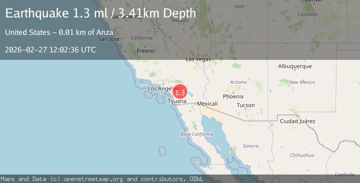
A 1.3 magnitude earthquake struck on 7 km WSW of Anza, CA, at Fri, 27 Feb 2026 12:02:36 GMT. Depth: 3.41000008583069km. Reviewed by USGS seismologists, this minor quake occurred at a magnitude type of ml.
Magnitude
1.3
ml
Source
USGS
Intensity
-
Agency Reports
1 Sources| Source | Magnitude | Depth | Time |
|---|---|---|---|
| USGSPrimary | 1.3 | 3 km | 20 hours ago |
Earthquake Details
AutomaticEvent IDusgs_ci41405184
Tsunami PotentialNo
Magnitude Typeml
Nearest Places
- 2.0 km
- 2.5 km
- 2.7 km
- 3.2 km
- 3.7 km
Comments
Join the discussion about this event.
Latest Earthquakes
3.4Mag
Sulawesi, Indonesia
Time20 hours ago
Depth4.72 km
SourceBMKG
2.4Mag
Bali Sea
Time20 hours ago
Depth12.42 km
SourceBMKG
2.1Mag
Timor Region
Time20 hours ago
Depth10.00 km
SourceBMKG
3.0Mag
Potosi, Bolivia
Time20 hours ago
Depth157.59 km
SourceVYT (Automatic)
2.0Mag
FRANCE
Time20 hours ago
Depth7.90 km
SourceReNaSS (Automatic)
Nearby Earthquakes
1.5Mag
7 km WSW of Anza, CA
Time1 week ago
Depth4.45 km
SourceUSGS (Automatic)
0.8Mag
7 km WSW of Anza, CA
Time1 day ago
Depth3.90 km
SourceUSGS (Automatic)
1.0Mag
7 km WSW of Anza, CA
Time1 week ago
Depth6.08 km
SourceUSGS (Automatic)
1.0Mag
6 km WSW of Anza, CA
Time1 month ago
Depth4.44 km
SourceUSGS (Automatic)
1.3Mag
6 km WSW of Anza, CA
Time1 day ago
Depth4.80 km
SourceUSGS (Automatic)