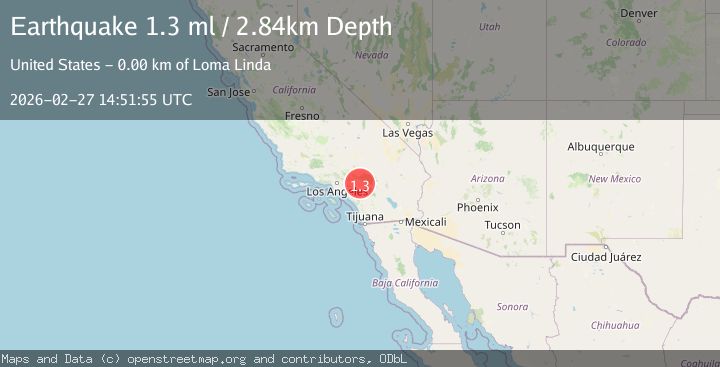
Earthquake 3 km ESE of Loma Linda, CA
Fri, 27 Feb 2026 14:51:55 GMT
Time8 hours ago
Location
34.0367, -117.2273
Depth
2.8 KM
Event Summary
A 1.3 magnitude earthquake struck on 3 km ESE of Loma Linda, CA, at Fri, 27 Feb 2026 14:51:55 GMT. Depth: 2.83999991416931km. Reviewed by USGS seismologists, this minor quake occurred at a magnitude type of ml.
Magnitude
1.3
ml
Source
USGS
Intensity
-
Agency Reports
1 Sources| Source | Magnitude | Depth | Time |
|---|---|---|---|
| USGSPrimary | 1.3 | 3 km | 8 hours ago |
Earthquake Details
AutomaticEvent IDusgs_ci41405376
Tsunami PotentialNo
Magnitude Typeml
Nearest Places
- 0.6 km
- 1.3 km
- 1.5 km
- 1.5 km
- 1.5 km
Comments
Join the discussion about this event.
Latest Earthquakes
1.5Mag
2 km NW of The Geysers, CA
Time5 hours ago
Depth0.88 km
SourceUSGS (Automatic)
3.1Mag
offshore Valparaiso, Chile
Time5 hours ago
Depth0.00 km
SourceVYT (Automatic)
2.6Mag
Antofagasta, Chile
Time5 hours ago
Depth0.00 km
SourceVYT (Automatic)
2.8Mag
La Rioja, Argentina
Time5 hours ago
Depth330.08 km
SourceVYT (Automatic)
1.7Mag
Southern Alaska
Time5 hours ago
Depth43.46 km
SourceVYT (Automatic)
Nearby Earthquakes
1.3Mag
3 km ESE of Loma Linda, CA
Time11 hours ago
Depth4.18 km
SourceUSGS (Automatic)
1.1Mag
3 km ESE of Loma Linda, CA
Time2 days ago
Depth4.65 km
SourceUSGS (Automatic)
1.1Mag
4 km ESE of Loma Linda, CA
Time8 hours ago
Depth3.40 km
SourceUSGS (Automatic)
1.2Mag
3 km ESE of Loma Linda, CA
Time10 hours ago
Depth3.39 km
SourceUSGS (Automatic)
1.3Mag
3 km ESE of Loma Linda, CA
Time12 hours ago
Depth3.89 km
SourceUSGS (Automatic)