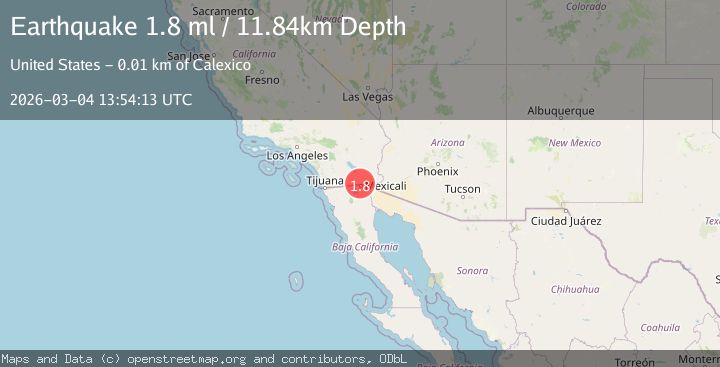
Earthquake 6 km NE of Calexico, CA
Wed, 04 Mar 2026 13:54:13 GMT
Time1 hour ago
Location
32.7118, -115.4457
Depth
11.8 KM
Event Summary
A 1.8 magnitude earthquake struck on 6 km NE of Calexico, CA, at Wed, 04 Mar 2026 13:54:13 GMT. Depth: 11.8400001525879km. Reviewed by USGS seismologists, this minor quake occurred at a magnitude type of ml.
Magnitude
1.8
ml
Source
USGS
Intensity
-
Agency Reports
1 Sources| Source | Magnitude | Depth | Time |
|---|---|---|---|
| USGSPrimary | 1.8 | 12 km | 1 hour ago |
Earthquake Details
AutomaticEvent IDusgs_ci41409048
Tsunami PotentialNo
Magnitude Typeml
Nearest Places
- 0.3 km
- 0.8 km
- 0.8 km
- 1.3 km
- 1.6 km
Comments
Join the discussion about this event.
Latest Earthquakes
4.5Mag
south of Alaska
Time1 hour ago
Depth0.98 km
SourceVYT (Automatic)
1.0Mag
Southern Alaska
Time1 hour ago
Depth0.00 km
SourceVYT (Automatic)
1.6Mag
Finland
Time1 hour ago
Depth0.00 km
SourceVYT (Automatic)
3.5Mag
Southeastern Alaska
Time1 hour ago
Depth0.00 km
SourceVYT (Automatic)
2.7Mag
Flores Sea
Time1 hour ago
Depth114.14 km
SourceVYT (Automatic)
Nearby Earthquakes
1.5Mag
6 km NE of Calexico, CA
Time2 hours ago
Depth11.93 km
SourceUSGS (Automatic)
1.6Mag
6 km NE of Calexico, CA
Time1 day ago
Depth15.86 km
SourceUSGS (Automatic)
1.8Mag
6 km NE of Mexicali, B.C., MX
Time7 hours ago
Depth14.45 km
SourceUSGS (Automatic)
3.2Mag
California-Baja California border region
Time2 hours ago
Depth20.02 km
SourceVYT (Automatic)
1.8Mag
4 km ESE of Heber, CA
Time6 days ago
Depth11.29 km
SourceUSGS (Automatic)