Earthquake 27 km NNW of Pāhala, Hawaii
Sat, 17 Jan 2026 06:54:49 GMT
Time3 hours ago
Location
19.4287, -155.5865
Depth
41.8 KM
Event Summary
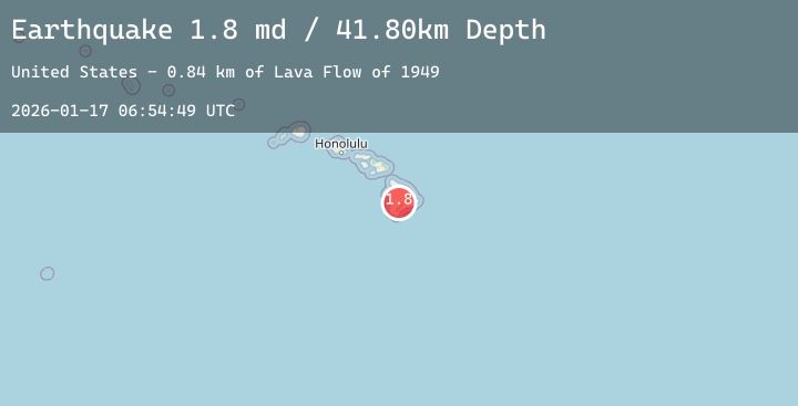
A 1.8 magnitude earthquake struck on 27 km NNW of Pāhala, Hawaii, at Sat, 17 Jan 2026 06:54:49 GMT. Depth: 41.7999992370605km. Reviewed by USGS seismologists, this minor quake occurred at a magnitude type of md.
Magnitude
1.8
md
Source
USGS
Intensity
-
Agency Reports
1 Sources| Source | Magnitude | Depth | Time |
|---|---|---|---|
| USGSPrimary | 1.8 | 42 km | 3 hours ago |
Earthquake Details
AutomaticEvent IDusgs_hv74878197
Tsunami PotentialNo
Magnitude Typemd
Nearest Places
- Lava Flow of 19490.8 km
- ‘Ainapō Trail2.3 km
- Lua Hohonu2.3 km
- Lua Hou2.4 km
- South Pit2.6 km
Comments
Join the discussion about this event.
Latest Earthquakes
1.6Mag
40 km NW of Valdez, Alaska
Time4 minutes ago
Depth23.30 km
SourceUSGS (Automatic)
0.7Mag
7 km NW of The Geysers, CA
Time6 minutes ago
Depth0.99 km
SourceUSGS (Automatic)
3.6Mag
CENTRAL ALASKA
Time13 minutes ago
Depth0.00 km
SourceAK (Automatic)
1.7Mag
WESTERN TURKEY
Time14 minutes ago
Depth14.70 km
SourceEMSC (Automatic)
1.0Mag
84 km NNW of Karluk, Alaska
Time31 minutes ago
Depth5.00 km
SourceUSGS (Automatic)
Nearby Earthquakes
1.9Mag
6 km SW of Volcano, Hawaii
Time8 hours ago
Depth0.14 km
SourceUSGS (Automatic)
2.1Mag
HAWAII REGION, HAWAII
Time10 hours ago
Depth34.70 km
SourceHV (Automatic)
1.9Mag
5 km SSW of Pāhala, Hawaii
Time13 hours ago
Depth30.49 km
SourceUSGS (Automatic)
3.2Mag
21 km ESE of Naalehu, Hawaii
Time17 hours ago
Depth32.46 km
SourceUSGS (Automatic)
1.8Mag
17 km ESE of Naalehu, Hawaii
Time21 hours ago
Depth31.28 km
SourceUSGS (Automatic)