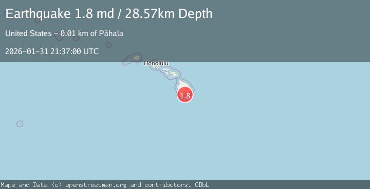
Earthquake 14 km ESE of Pāhala, Hawaii
Sat, 31 Jan 2026 21:37:00 GMT
Time5 days ago
Location
19.1390, -155.3563
Depth
28.6 KM
Event Summary
A 1.8 magnitude earthquake struck on 14 km ESE of Pāhala, Hawaii, at Sat, 31 Jan 2026 21:37:00 GMT. Depth: 28.5699996948242km. Reviewed by USGS seismologists, this minor quake occurred at a magnitude type of md.
Magnitude
1.8
md
Source
USGS
Intensity
-
Agency Reports
1 Sources| Source | Magnitude | Depth | Time |
|---|---|---|---|
| USGSPrimary | 1.8 | 29 km | 5 days ago |
Earthquake Details
AutomaticEvent IDusgs_hv74891842
Tsunami PotentialNo
Magnitude Typemd
Nearest Places
- Papalehau Point7.0 km
- Laahana7.1 km
- Kapaoo Point7.1 km
- Waiwelawela Point7.3 km
- Punahaha7.5 km
Comments
Join the discussion about this event.
Latest Earthquakes
3.2Mag
OFF E. COAST OF N. ISLAND, N.Z.
Time8 minutes ago
Depth319.10 km
SourceGNS (Automatic)
2.9Mag
SIKKIM, INDIA
Time16 minutes ago
Depth5.00 km
SourceNDI (Automatic)
2.3Mag
58 km WSW of Cantwell, Alaska
Time19 minutes ago
Depth2.80 km
SourceUSGS
0.4Mag
4 km W of Cobb, CA
Time22 minutes ago
Depth2.09 km
SourceUSGS (Automatic)
2.4Mag
95 km S of Sand Point, Alaska
Time27 minutes ago
Depth20.00 km
SourceUSGS
Nearby Earthquakes
2.1Mag
14 km ESE of Pāhala, Hawaii
Time1 week ago
Depth29.30 km
SourceUSGS (Automatic)
3.2Mag
13 km ESE of Pāhala, Hawaii
Time2 weeks ago
Depth29.62 km
SourceUSGS
1.9Mag
13 km SE of Pāhala, Hawaii
Time2 weeks ago
Depth29.31 km
SourceUSGS (Automatic)
1.8Mag
13 km SE of Pāhala, Hawaii
Time1 week ago
Depth28.46 km
SourceUSGS (Automatic)
2.5Mag
ISLAND OF HAWAII, HAWAII
Time1 week ago
Depth27.40 km
SourceHV (Automatic)