Earthquake 14 km ESE of Pāhala, Hawaii
Wed, 28 Jan 2026 05:09:55 GMT
Time3 hours ago
Location
19.1352, -155.3628
Depth
29.3 KM
Event Summary
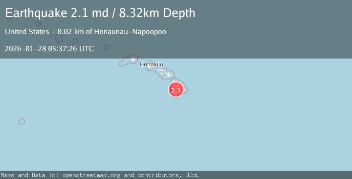
A 2.1 magnitude earthquake struck on 14 km ESE of Pāhala, Hawaii, at Wed, 28 Jan 2026 05:09:55 GMT. Depth: 29.2999992370605km. Reviewed by USGS seismologists, this minor quake occurred at a magnitude type of md.
Magnitude
2.1
md
Source
USGS
Intensity
-
Agency Reports
2 Sources| Source | Magnitude | Depth | Time |
|---|---|---|---|
| USGSPrimary | 2.1 | 8 km | 3 hours ago |
| HV | 2.0 | 8 km | 3 hours ago |
Earthquake Details
AutomaticEvent IDusgs_hv74886787
Tsunami PotentialNo
Magnitude Typemd
Nearest Places
- Kapaoo Point7.0 km
- Laahana7.1 km
- Papalehau Point7.3 km
- Punahaha7.4 km
- Waiwelawela Point7.5 km
Comments
Join the discussion about this event.
Latest Earthquakes
3.4Mag
Northern Sumatra, Indonesia
Time7 minutes ago
Depth55.64 km
SourceBMKG (Automatic)
1.5Mag
100 km E of McCarthy, Alaska
Time16 minutes ago
Depth5.00 km
SourceUSGS (Automatic)
3.1Mag
Halmahera, Indonesia
Time26 minutes ago
Depth10.16 km
SourceBMKG (Automatic)
2.4Mag
CENTRAL CALIFORNIA
Time31 minutes ago
Depth3.10 km
SourceNC (Automatic)
1.5Mag
18 km SSW of Lamont, CA
Time34 minutes ago
Depth9.92 km
SourceUSGS (Automatic)
Nearby Earthquakes
3.2Mag
13 km ESE of Pāhala, Hawaii
Time1 week ago
Depth29.62 km
SourceUSGS
1.9Mag
13 km SE of Pāhala, Hawaii
Time5 days ago
Depth29.31 km
SourceUSGS (Automatic)
1.8Mag
13 km SE of Pāhala, Hawaii
Time1 day ago
Depth28.46 km
SourceUSGS (Automatic)
1.8Mag
7 km SE of Pāhala, Hawaii
Time2 hours ago
Depth30.48 km
SourceUSGS (Automatic)
1.7Mag
21 km SE of Pāhala, Hawaii
Time4 days ago
Depth34.15 km
SourceUSGS (Automatic)