Earthquake 12 km WNW of The Geysers, CA
Thu, 08 Jan 2026 16:27:32 GMT
Time1 day ago
Location
38.8360, -122.8772
Depth
2.1 KM
Event Summary
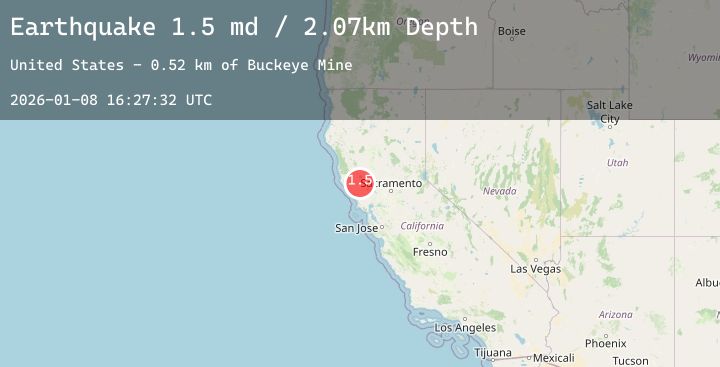
A 1.5 magnitude earthquake struck on 12 km WNW of The Geysers, CA, at Thu, 08 Jan 2026 16:27:32 GMT. Depth: 2.0699999332428km. Reviewed by USGS seismologists, this minor quake occurred at a magnitude type of md.
Magnitude
1.5
md
Source
USGS
Intensity
-
Agency Reports
3 Sources| Source | Magnitude | Depth | Time |
|---|---|---|---|
| USGSPrimary | 0.8 | 2 km | 1 day ago |
| USGSPrimary | 0.6 | 3 km | 1 day ago |
| USGSPrimary | 1.5 | 7 km | 1 day ago |
Earthquake Details
AutomaticEvent IDusgs_nc75292646
Tsunami PotentialNo
Magnitude Typemd
Nearest Places
- Alder Creek0.8 km
- Squaw Creek1.3 km
- Kissack Ranch1.5 km
- Cloverdale Mine Headquarters1.6 km
- Hummingbird Creek1.7 km
Comments
Join the discussion about this event.
Latest Earthquakes
2.6Mag
56 km E of Egegik, Alaska
Time1 day ago
Depth5.00 km
SourceUSGS (Automatic)
1.1Mag
2 km S of Borrego Springs, CA
Time1 day ago
Depth2.27 km
SourceUSGS (Automatic)
4.4Mag
South of Java, Indonesia
Time1 day ago
Depth10.00 km
SourceBMKG (Automatic)
3.3Mag
Southern Sumatra, Indonesia
Time1 day ago
Depth10.00 km
SourceBMKG (Automatic)
2.7Mag
West Papua Region, Indonesia
Time1 day ago
Depth93.16 km
SourceBMKG (Automatic)
Nearby Earthquakes
1.3Mag
4 km NW of The Geysers, CA
Time1 day ago
Depth2.96 km
SourceUSGS (Automatic)
0.7Mag
8 km NW of The Geysers, CA
Time1 day ago
Depth1.55 km
SourceUSGS (Automatic)
1.0Mag
11 km ENE of Cloverdale, CA
Time1 day ago
Depth4.00 km
SourceUSGS (Automatic)
1.1Mag
9 km NW of The Geysers, CA
Time1 day ago
Depth4.16 km
SourceUSGS (Automatic)
1.2Mag
7 km NW of The Geysers, CA
Time1 day ago
Depth2.73 km
SourceUSGS (Automatic)