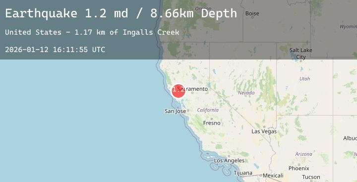
Earthquake 8 km S of The Geysers, CA
Mon, 12 Jan 2026 16:11:55 GMT
Time9 hours ago
Location
38.7053, -122.7568
Depth
8.7 KM
Event Summary
A 1.2 magnitude earthquake struck on 8 km S of The Geysers, CA, at Mon, 12 Jan 2026 16:11:55 GMT. Depth: 8.65999984741211km. Reviewed by USGS seismologists, this minor quake occurred at a magnitude type of md.
Magnitude
1.2
md
Source
USGS
Intensity
-
Agency Reports
2 Sources| Source | Magnitude | Depth | Time |
|---|---|---|---|
| USGSPrimary | 1.2 | 9 km | 9 hours ago |
| USGSPrimary | 0.8 | 2 km | 9 hours ago |
Earthquake Details
AutomaticEvent IDusgs_nc75294641
Tsunami PotentialNo
Magnitude Typemd
Nearest Places
- Ingalls Creek1.2 km
- Big Hill1.9 km
- The Horn2.1 km
- Bear Creek2.2 km
- Bluegum Creek2.5 km
Comments
Join the discussion about this event.
Latest Earthquakes
2.6Mag
Java, Indonesia
Time8 hours ago
Depth5.00 km
SourceBMKG (Automatic)
4.1Mag
Southwest of Sumatra, Indonesia
Time8 hours ago
Depth10.00 km
SourceBMKG (Automatic)
2.0Mag
CENTRAL CALIFORNIA
Time8 hours ago
Depth6.80 km
SourceNC (Automatic)
3.2Mag
HOKKAIDO, JAPAN REGION
Time9 hours ago
Depth0.00 km
SourceJMA (Automatic)
2.0Mag
ISLAND OF HAWAII, HAWAII
Time9 hours ago
Depth0.50 km
SourceHV (Automatic)
Nearby Earthquakes
0.8Mag
3 km WNW of Cobb, CA
Time10 hours ago
Depth-0.91 km
SourceUSGS (Automatic)
1.3Mag
2 km NNW of The Geysers, CA
Time12 hours ago
Depth0.37 km
SourceUSGS (Automatic)
1.5Mag
7 km NW of The Geysers, CA
Time13 hours ago
Depth0.87 km
SourceUSGS (Automatic)
1.6Mag
12 km NNW of Lake Pillsbury, CA
Time16 hours ago
Depth7.69 km
SourceUSGS (Automatic)
0.9Mag
2 km W of Anderson Springs, CA
Time17 hours ago
Depth2.69 km
SourceUSGS (Automatic)