Earthquake 12 km NNW of Lake Pillsbury, CA
Mon, 12 Jan 2026 09:35:10 GMT
Time13 hours ago
Location
39.5165, -122.9940
Depth
7.7 KM
Event Summary
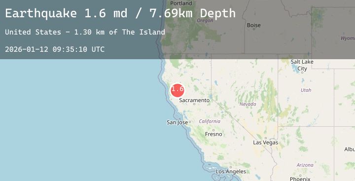
A 1.6 magnitude earthquake struck on 12 km NNW of Lake Pillsbury, CA, at Mon, 12 Jan 2026 09:35:10 GMT. Depth: 7.69000005722046km. Reviewed by USGS seismologists, this minor quake occurred at a magnitude type of md.
Magnitude
1.6
md
Source
USGS
Intensity
-
Agency Reports
1 Sources| Source | Magnitude | Depth | Time |
|---|---|---|---|
| USGSPrimary | 1.6 | 8 km | 13 hours ago |
Earthquake Details
AutomaticEvent IDusgs_nc75294526
Tsunami PotentialNo
Magnitude Typemd
Nearest Places
- The Island1.3 km
- Lookout Creek1.4 km
- Summit Lake1.5 km
- Booth Crossing1.5 km
- Windy Point2.7 km
Comments
Join the discussion about this event.
Latest Earthquakes
3.2Mag
Northern Sumatra, Indonesia
Time12 hours ago
Depth99.02 km
SourceBMKG (Automatic)
1.8Mag
9 km NNE of Banning, CA
Time12 hours ago
Depth18.03 km
SourceUSGS (Automatic)
3.5Mag
Southwest of Sumatra, Indonesia
Time12 hours ago
Depth27.24 km
SourceBMKG (Automatic)
1.5Mag
60 km S of Whites City, New Mexico
Time12 hours ago
Depth5.79 km
SourceUSGS (Automatic)
2.0Mag
Sumbawa Region, Indonesia
Time12 hours ago
Depth18.61 km
SourceBMKG (Automatic)
Nearby Earthquakes
0.9Mag
2 km W of Anderson Springs, CA
Time14 hours ago
Depth2.69 km
SourceUSGS (Automatic)
1.1Mag
10 km WNW of The Geysers, CA
Time16 hours ago
Depth1.59 km
SourceUSGS (Automatic)
0.8Mag
8 km NW of The Geysers, CA
Time17 hours ago
Depth2.19 km
SourceUSGS (Automatic)
1.3Mag
12 km ENE of Cloverdale, CA
Time20 hours ago
Depth1.27 km
SourceUSGS (Automatic)
1.7Mag
6 km NW of The Geysers, CA
Time22 hours ago
Depth2.45 km
SourceUSGS (Automatic)