Earthquake 9 km WNW of The Geysers, CA
Fri, 16 Jan 2026 22:28:28 GMT
Time1 hour ago
Location
38.8188, -122.8415
Depth
2.0 KM
Event Summary
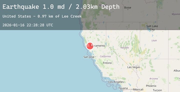
A 1.5 magnitude earthquake struck on 9 km WNW of The Geysers, CA, at Fri, 16 Jan 2026 22:28:28 GMT. Depth: 2.02999997138977km. Reviewed by USGS seismologists, this minor quake occurred at a magnitude type of md.
Magnitude
1.5
md
Source
USGS
Intensity
-
Agency Reports
3 Sources| Source | Magnitude | Depth | Time |
|---|---|---|---|
| USGSPrimary | 1.0 | 2 km | 1 hour ago |
| USGSPrimary | 1.5 | 3 km | 1 hour ago |
| USGSPrimary | 0.8 | 3 km | 1 hour ago |
Earthquake Details
AutomaticEvent IDusgs_nc75296721
Tsunami PotentialNo
Magnitude Typemd
Nearest Places
- Adit Number One-One Hundred Twenty1.4 km
- Truitt Creek1.4 km
- Eagle Rock1.5 km
- Buckeye Mine1.5 km
- Black Oaks1.5 km
Comments
Join the discussion about this event.
Latest Earthquakes
1.7Mag
16 km NNE of Summerlin South, Nevada
Time11 minutes ago
Depth2.61 km
SourceUSGS (Automatic)
5.2Mag
Seram, Indonesia
Time22 minutes ago
Depth74.35 km
SourceBMKG (Automatic)
0.7Mag
8 km NW of The Geysers, CA
Time37 minutes ago
Depth1.55 km
SourceUSGS (Automatic)
3.8Mag
NEAR WEST COAST OF HONSHU, JAPAN
Time45 minutes ago
Depth10.00 km
SourceJMA (Automatic)
2.2Mag
Northern Sumatra, Indonesia
Time46 minutes ago
Depth0.99 km
SourceBMKG (Automatic)
Nearby Earthquakes
0.7Mag
8 km NW of The Geysers, CA
Time37 minutes ago
Depth1.55 km
SourceUSGS (Automatic)
1.3Mag
10 km WNW of The Geysers, CA
Time3 hours ago
Depth2.38 km
SourceUSGS (Automatic)
1.0Mag
4 km W of Cobb, CA
Time5 hours ago
Depth1.96 km
SourceUSGS (Automatic)
1.8Mag
11 km ESE of Willits, CA
Time7 hours ago
Depth6.40 km
SourceUSGS (Automatic)
1.1Mag
4 km NNW of The Geysers, CA
Time8 hours ago
Depth2.58 km
SourceUSGS (Automatic)