Earthquake 16 km S of Tres Pinos, CA
Sat, 17 Jan 2026 15:04:15 GMT
Time1 hour ago
Location
36.6465, -121.3127
Depth
-0.4 KM
Event Summary
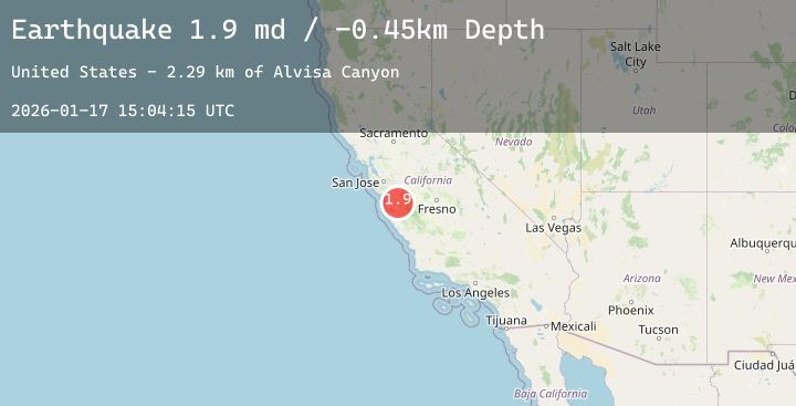
A 1.9 magnitude earthquake struck on 16 km S of Tres Pinos, CA, at Sat, 17 Jan 2026 15:04:15 GMT. Depth: -0.449999988079071km. Reviewed by USGS seismologists, this minor quake occurred at a magnitude type of md.
Magnitude
1.9
md
Source
USGS
Intensity
-
Agency Reports
1 Sources| Source | Magnitude | Depth | Time |
|---|---|---|---|
| USGSPrimary | 1.9 | -0 km | 1 hour ago |
Earthquake Details
AutomaticEvent IDusgs_nc75297136
Tsunami PotentialNo
Magnitude Typemd
Nearest Places
- Alvisa Canyon2.3 km
- Three Troughs Canyon2.4 km
- Matarana Gulch3.9 km
- Gabilan Range3.9 km
- Mount Johnson4.0 km
Comments
Join the discussion about this event.
Latest Earthquakes
2.4Mag
Java, Indonesia
Time5 minutes ago
Depth10.00 km
SourceBMKG (Automatic)
4.0Mag
NEAR EAST COAST OF HONSHU, JAPAN
Time13 minutes ago
Depth70.00 km
SourceJMA (Automatic)
2.0Mag
Sumbawa Region, Indonesia
Time17 minutes ago
Depth4.33 km
SourceBMKG (Automatic)
1.3Mag
61 km N of Chickaloon, Alaska
Time27 minutes ago
Depth31.10 km
SourceUSGS (Automatic)
2.9Mag
Sunda Strait, Indonesia
Time31 minutes ago
Depth6.85 km
SourceBMKG (Automatic)