Earthquake 10 km WNW of The Geysers, CA
Sat, 17 Jan 2026 23:56:29 GMT
Time1 hour ago
Location
38.8253, -122.8532
Depth
2.2 KM
Event Summary
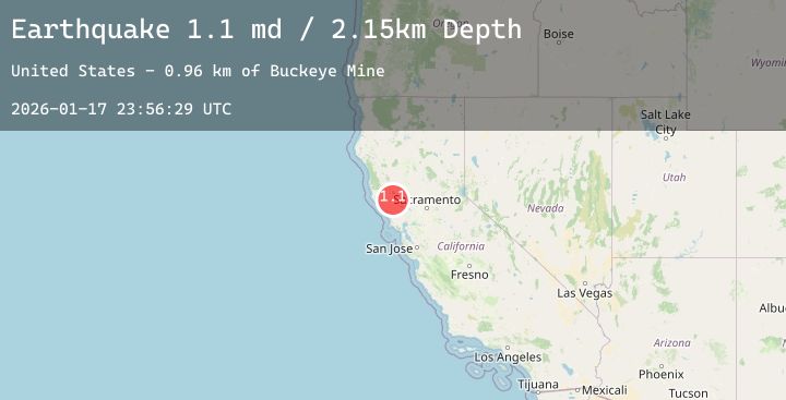
A 1.1 magnitude earthquake struck on 10 km WNW of The Geysers, CA, at Sat, 17 Jan 2026 23:56:29 GMT. Depth: 2.15000009536743km. Reviewed by USGS seismologists, this minor quake occurred at a magnitude type of md.
Magnitude
1.1
md
Source
USGS
Intensity
-
Agency Reports
1 Sources| Source | Magnitude | Depth | Time |
|---|---|---|---|
| USGSPrimary | 1.1 | 2 km | 1 hour ago |
Earthquake Details
AutomaticEvent IDusgs_nc75297281
Tsunami PotentialNo
Magnitude Typemd
Nearest Places
- Buckeye Mine0.5 km
- Truitt Creek1.5 km
- Hummingbird Creek1.6 km
- Alder Creek1.6 km
- Cloverdale Mine Headquarters1.7 km
Comments
Join the discussion about this event.
Latest Earthquakes
2.5Mag
Minahassa Peninsula, Sulawesi
Time3 minutes ago
Depth146.10 km
SourceBMKG (Automatic)
5.0Mag
Near North Coast of West Papua
Time17 minutes ago
Depth35.66 km
SourceBMKG (Automatic)
3.2Mag
Seram, Indonesia
Time22 minutes ago
Depth17.59 km
SourceBMKG (Automatic)
0.6Mag
7 km NE of Coso Junction, CA
Time24 minutes ago
Depth6.06 km
SourceUSGS (Automatic)
2.7Mag
DODECANESE IS.-TURKEY BORDER REG
Time24 minutes ago
Depth38.30 km
SourceKOERI (Automatic)
Nearby Earthquakes
0.8Mag
8 km NW of The Geysers, CA
Time3 hours ago
Depth2.23 km
SourceUSGS (Automatic)
1.7Mag
7 km NW of The Geysers, CA
Time4 hours ago
Depth2.47 km
SourceUSGS (Automatic)
0.9Mag
3 km NW of The Geysers, CA
Time5 hours ago
Depth3.56 km
SourceUSGS (Automatic)
1.1Mag
8 km NW of The Geysers, CA
Time6 hours ago
Depth1.85 km
SourceUSGS (Automatic)
1.7Mag
10 km NW of The Geysers, CA
Time8 hours ago
Depth1.66 km
SourceUSGS (Automatic)