Earthquake 14 km S of Tres Pinos, CA
Tue, 20 Jan 2026 04:34:28 GMT
Time1 week ago
Location
36.6605, -121.3178
Depth
6.7 KM
Event Summary
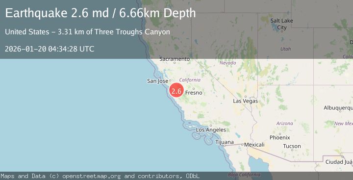
A 2.6 magnitude earthquake struck on 14 km S of Tres Pinos, CA, at Tue, 20 Jan 2026 04:34:28 GMT. Depth: 6.65999984741211km. Reviewed by USGS seismologists, this minor quake occurred at a magnitude type of md.
Magnitude
2.6
md
Source
USGS
Intensity
-
Agency Reports
1 Sources| Source | Magnitude | Depth | Time |
|---|---|---|---|
| USGSPrimary | 2.6 | 7 km | 1 week ago |
Earthquake Details
AutomaticEvent IDusgs_nc75298521
Tsunami PotentialNo
Magnitude Typemd
Nearest Places
- Three Troughs Canyon3.3 km
- Alvisa Canyon3.4 km
- Enz Vineyards4.0 km
- Thousand Trail Resort4.1 km
- Matarana Gulch4.3 km
Comments
Join the discussion about this event.
Latest Earthquakes
4.3Mag
Sulawesi, Indonesia
Time16 hours ago
Depth10.00 km
SourceBMKG (Automatic)
2.6Mag
Minahassa Peninsula, Sulawesi
Time17 hours ago
Depth118.00 km
SourceBMKG (Automatic)
2.8Mag
South of Bali, Indonesia
Time17 hours ago
Depth10.00 km
SourceBMKG (Automatic)
1.7Mag
31 km SE of Denali National Park, Alaska
Time17 hours ago
Depth0.60 km
SourceUSGS (Automatic)
2.2Mag
WESTERN TURKEY
Time17 hours ago
Depth14.90 km
SourceKOERI (Automatic)
Nearby Earthquakes
2.0Mag
14 km S of Tres Pinos, CA
Time4 days ago
Depth2.18 km
SourceUSGS (Automatic)
1.6Mag
17 km S of Tres Pinos, CA
Time3 days ago
Depth5.25 km
SourceUSGS (Automatic)
1.5Mag
13 km SSW of Tres Pinos, CA
Time4 days ago
Depth1.38 km
SourceUSGS (Automatic)
1.5Mag
17 km S of Tres Pinos, CA
Time1 day ago
Depth5.66 km
SourceUSGS (Automatic)
2.1Mag
CENTRAL CALIFORNIA
Time5 days ago
Depth6.20 km
SourceNC (Automatic)