Earthquake 17 km S of Tres Pinos, CA
Fri, 23 Jan 2026 21:04:12 GMT
Time3 days ago
Location
36.6417, -121.3095
Depth
5.3 KM
Event Summary
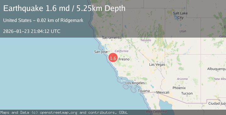
A 1.6 magnitude earthquake struck on 17 km S of Tres Pinos, CA, at Fri, 23 Jan 2026 21:04:12 GMT. Depth: 5.25km. Reviewed by USGS seismologists, this minor quake occurred at a magnitude type of md.
Magnitude
1.6
md
Source
USGS
Intensity
-
Agency Reports
1 Sources| Source | Magnitude | Depth | Time |
|---|---|---|---|
| USGSPrimary | 1.6 | 5 km | 3 days ago |
Earthquake Details
AutomaticEvent IDusgs_nc75300721
Tsunami PotentialNo
Magnitude Typemd
Nearest Places
- Alvisa Canyon1.9 km
- Three Troughs Canyon2.2 km
- Gabilan Range3.4 km
- Mount Johnson3.5 km
- Matarana Gulch4.0 km
Comments
Join the discussion about this event.
Latest Earthquakes
1.4Mag
41 km NW of Toyah, Texas
Time5 minutes ago
Depth2.74 km
SourceUSGS (Automatic)
2.0Mag
Sumbawa Region, Indonesia
Time9 minutes ago
Depth107.77 km
SourceBMKG (Automatic)
1.7Mag
26 km WNW of Ludlow, CA
Time13 minutes ago
Depth1.36 km
SourceUSGS (Automatic)
3.1Mag
HAITI REGION
Time16 minutes ago
Depth7.00 km
SourceAYIT (Automatic)
2.6Mag
PUERTO RICO
Time22 minutes ago
Depth16.10 km
SourcePR (Automatic)
Nearby Earthquakes
2.6Mag
14 km S of Tres Pinos, CA
Time1 week ago
Depth6.66 km
SourceUSGS (Automatic)
1.5Mag
17 km S of Tres Pinos, CA
Time1 day ago
Depth5.66 km
SourceUSGS (Automatic)
2.0Mag
14 km S of Tres Pinos, CA
Time4 days ago
Depth2.18 km
SourceUSGS (Automatic)
1.5Mag
13 km SSW of Tres Pinos, CA
Time4 days ago
Depth1.38 km
SourceUSGS (Automatic)
1.9Mag
2 km SW of Pinnacles, CA
Time3 days ago
Depth4.25 km
SourceUSGS (Automatic)