Earthquake 17 km S of Tres Pinos, CA
Mon, 26 Jan 2026 01:44:49 GMT
Time1 day ago
Location
36.6397, -121.2847
Depth
5.7 KM
Event Summary
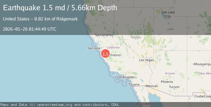
A 1.5 magnitude earthquake struck on 17 km S of Tres Pinos, CA, at Mon, 26 Jan 2026 01:44:49 GMT. Depth: 5.65999984741211km. Reviewed by USGS seismologists, this minor quake occurred at a magnitude type of md.
Magnitude
1.5
md
Source
USGS
Intensity
-
Agency Reports
1 Sources| Source | Magnitude | Depth | Time |
|---|---|---|---|
| USGSPrimary | 1.5 | 6 km | 1 day ago |
Earthquake Details
AutomaticEvent IDusgs_nc75301741
Tsunami PotentialNo
Magnitude Typemd
Nearest Places
- Alvisa Canyon0.3 km
- Three Troughs Canyon0.7 km
- Bear Canyon2.3 km
- Live Oak School (historical)3.5 km
- Gabilan Range4.2 km
Comments
Join the discussion about this event.
Latest Earthquakes
3.7Mag
VALPARAISO, CHILE
Time5 minutes ago
Depth27.60 km
SourceCSN (Automatic)
2.0Mag
CENTRAL TURKEY
Time8 minutes ago
Depth23.50 km
SourceKOERI (Automatic)
3.2Mag
OFFSHORE EL SALVADOR
Time9 minutes ago
Depth28.00 km
SourceINET (Automatic)
3.1Mag
South of Java, Indonesia
Time10 minutes ago
Depth5.01 km
SourceBMKG (Automatic)
2.2Mag
Near North Coast of West Papua
Time12 minutes ago
Depth10.00 km
SourceBMKG (Automatic)
Nearby Earthquakes
1.6Mag
17 km S of Tres Pinos, CA
Time3 days ago
Depth5.25 km
SourceUSGS (Automatic)
2.6Mag
14 km S of Tres Pinos, CA
Time1 week ago
Depth6.66 km
SourceUSGS (Automatic)
2.0Mag
14 km S of Tres Pinos, CA
Time4 days ago
Depth2.18 km
SourceUSGS (Automatic)
1.5Mag
13 km SSW of Tres Pinos, CA
Time4 days ago
Depth1.38 km
SourceUSGS (Automatic)
1.9Mag
2 km SW of Pinnacles, CA
Time3 days ago
Depth4.25 km
SourceUSGS (Automatic)