Earthquake 4 km SE of San Ramon, CA
Wed, 28 Jan 2026 10:24:42 GMT
Time3 hours ago
Location
37.7577, -121.9368
Depth
1.0 KM
Event Summary
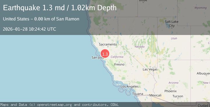
A 1.3 magnitude earthquake struck on 4 km SE of San Ramon, CA, at Wed, 28 Jan 2026 10:24:42 GMT. Depth: 1.01999998092651km. Reviewed by USGS seismologists, this minor quake occurred at a magnitude type of md.
Magnitude
1.3
md
Source
USGS
Intensity
-
Agency Reports
1 Sources| Source | Magnitude | Depth | Time |
|---|---|---|---|
| USGSPrimary | 1.3 | 1 km | 3 hours ago |
Earthquake Details
AutomaticEvent IDusgs_nc75303031
Tsunami PotentialNo
Magnitude Typemd
Nearest Places
- City of San Ramon0.5 km
- San Ramon Village Shopping Center0.6 km
- Coyote Creek0.9 km
- Canyon Lakes Golf Course0.9 km
- Oakwood San Ramon1.1 km
Comments
Join the discussion about this event.
Latest Earthquakes
2.3Mag
34 km NW of Beluga, Alaska
Time6 minutes ago
Depth83.70 km
SourceUSGS (Automatic)
3.4Mag
NEGROS- CEBU REG, PHILIPPINES
Time7 minutes ago
Depth10.00 km
SourcePIVS (Automatic)
3.3Mag
MORO GULF, MINDANAO, PHILIPPINES
Time11 minutes ago
Depth6.00 km
SourcePIVS (Automatic)
2.8Mag
Northern Molucca Sea
Time14 minutes ago
Depth6.77 km
SourceBMKG (Automatic)
3.1Mag
Timor Region
Time19 minutes ago
Depth6.99 km
SourceBMKG (Automatic)
Nearby Earthquakes
1.9Mag
4 km SE of San Ramon, CA
Time5 days ago
Depth8.30 km
SourceUSGS (Automatic)
1.6Mag
3 km ESE of San Ramon, CA
Time4 days ago
Depth7.67 km
SourceUSGS (Automatic)
1.3Mag
1 km NW of Danville, CA
Time2 days ago
Depth4.39 km
SourceUSGS (Automatic)
1.8Mag
6 km SSW of Livermore, CA
Time2 days ago
Depth9.32 km
SourceUSGS (Automatic)
1.7Mag
3 km NE of Oakland, CA
Time1 day ago
Depth8.73 km
SourceUSGS (Automatic)