Earthquake 9 km NW of The Geysers, CA
Thu, 29 Jan 2026 18:06:32 GMT
Time1 hour ago
Location
38.8227, -122.8408
Depth
2.0 KM
Event Summary
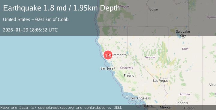
A 1.8 magnitude earthquake struck on 9 km NW of The Geysers, CA, at Thu, 29 Jan 2026 18:06:32 GMT. Depth: 1.95000004768372km. Reviewed by USGS seismologists, this minor quake occurred at a magnitude type of md.
Magnitude
1.8
md
Source
USGS
Intensity
-
Agency Reports
1 Sources| Source | Magnitude | Depth | Time |
|---|---|---|---|
| USGSPrimary | 1.8 | 2 km | 1 hour ago |
Earthquake Details
AutomaticEvent IDusgs_nc75303826
Tsunami PotentialNo
Magnitude Typemd
Nearest Places
- Black Oaks1.1 km
- Buckeye Mine1.5 km
- Coldwater Canyon1.6 km
- Truitt Creek1.7 km
- Wildhorse Creek1.8 km
Comments
Join the discussion about this event.
Latest Earthquakes
2.9Mag
Northern Molucca Sea
Time21 minutes ago
Depth10.00 km
SourceBMKG (Automatic)
2.8Mag
21 km SSW of Mammoth, Wyoming
Time23 minutes ago
Depth25.82 km
SourceUSGS (Automatic)
4.2Mag
WESTERN MONTANA
Time23 minutes ago
Depth10.00 km
SourceNEIC (Automatic)
1.0Mag
EASTERN TURKEY
Time24 minutes ago
Depth7.00 km
SourceAFAD (Automatic)
2.9Mag
ICELAND REGION
Time27 minutes ago
Depth11.90 km
SourceIMO (Automatic)
Nearby Earthquakes
2.2Mag
9 km NW of The Geysers, CA
Time2 days ago
Depth1.51 km
SourceUSGS (Automatic)
0.8Mag
9 km WNW of The Geysers, CA
Time2 days ago
Depth1.50 km
SourceUSGS (Automatic)
1.5Mag
9 km WNW of The Geysers, CA
Time3 days ago
Depth2.24 km
SourceUSGS (Automatic)
0.7Mag
9 km WNW of The Geysers, CA
Time4 days ago
Depth2.32 km
SourceUSGS (Automatic)
1.1Mag
9 km NW of The Geysers, CA
Time4 days ago
Depth1.99 km
SourceUSGS (Automatic)