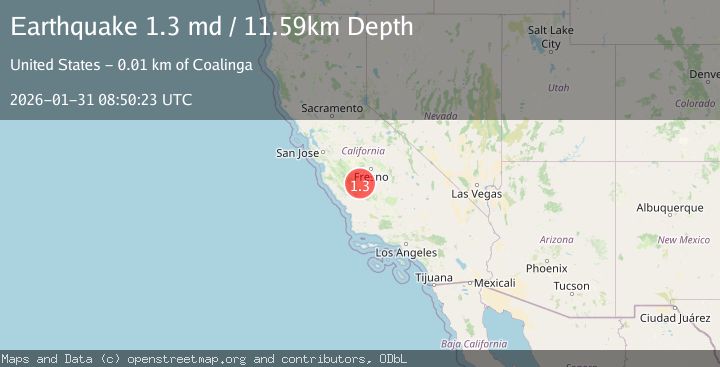
Earthquake 11 km NE of Coalinga, CA
Sat, 31 Jan 2026 08:50:23 GMT
Time1 hour ago
Location
36.2200, -120.2775
Depth
11.6 KM
Event Summary
A 1.3 magnitude earthquake struck on 11 km NE of Coalinga, CA, at Sat, 31 Jan 2026 08:50:23 GMT. Depth: 11.5900001525879km. Reviewed by USGS seismologists, this minor quake occurred at a magnitude type of md.
Magnitude
1.3
md
Source
USGS
Intensity
-
Agency Reports
1 Sources| Source | Magnitude | Depth | Time |
|---|---|---|---|
| USGSPrimary | 1.3 | 12 km | 1 hour ago |
Earthquake Details
AutomaticEvent IDusgs_nc75304641
Tsunami PotentialNo
Magnitude Typemd
Nearest Places
- Lake los Nietos1.3 km
- East Coalinga Extension Oil Field1.9 km
- Coalinga Canal2.7 km
- Coalinga Nose3.5 km
- Caliola Pumping Station3.6 km
Comments
Join the discussion about this event.
Latest Earthquakes
1.4Mag
12 km E of Desert Hot Springs, CA
Time18 minutes ago
Depth5.66 km
SourceUSGS (Automatic)
2.9Mag
NICARAGUA
Time22 minutes ago
Depth82.00 km
SourceINET (Automatic)
3.1Mag
OFF COAST OF COSTA RICA
Time27 minutes ago
Depth10.00 km
SourceUNA (Automatic)
3.8Mag
NEGROS- CEBU REG, PHILIPPINES
Time28 minutes ago
Depth9.00 km
SourcePIVS (Automatic)
4.5Mag
OAXACA, MEXICO
Time28 minutes ago
Depth51.90 km
SourceNEIC (Automatic)
Nearby Earthquakes
1.8Mag
6 km WNW of Coalinga, CA
Time1 week ago
Depth14.15 km
SourceUSGS (Automatic)
0.6Mag
19 km NW of Parkfield, CA
Time10 hours ago
Depth2.51 km
SourceUSGS (Automatic)
1.7Mag
16 km NW of Parkfield, CA
Time2 days ago
Depth1.32 km
SourceUSGS (Automatic)
0.7Mag
17 km NW of Parkfield, CA
Time2 days ago
Depth0.97 km
SourceUSGS (Automatic)
1.4Mag
15 km NW of Parkfield, CA
Time5 days ago
Depth3.45 km
SourceUSGS (Automatic)