Earthquake 17 km NW of Parkfield, CA
Thu, 29 Jan 2026 04:02:42 GMT
Time1 hour ago
Location
36.0027, -120.5640
Depth
1.0 KM
Event Summary
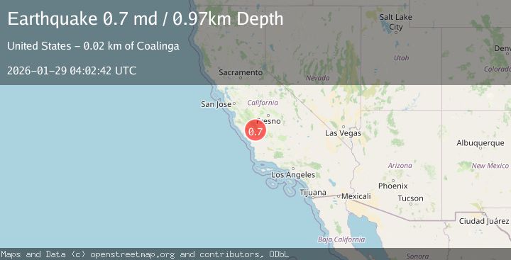
A 0.7 magnitude earthquake struck on 17 km NW of Parkfield, CA, at Thu, 29 Jan 2026 04:02:42 GMT. Depth: 0.970000028610229km. Reviewed by USGS seismologists, this minor quake occurred at a magnitude type of md.
Magnitude
0.7
md
Source
USGS
Intensity
-
Agency Reports
1 Sources| Source | Magnitude | Depth | Time |
|---|---|---|---|
| USGSPrimary | 0.7 | 1 km | 1 hour ago |
Earthquake Details
AutomaticEvent IDusgs_nc75303536
Tsunami PotentialNo
Magnitude Typemd
Nearest Places
- Stone Canyon1.9 km
- Stone Canyon Mine2.1 km
- Stockdale Mountain2.3 km
- Nelson Creek2.9 km
- Wayland Creek2.9 km
Comments
Join the discussion about this event.
Latest Earthquakes
3.4Mag
Minahassa Peninsula, Sulawesi
Time11 minutes ago
Depth42.59 km
SourceBMKG (Automatic)
3.0Mag
CENTRAL ALASKA
Time13 minutes ago
Depth10.20 km
SourceAK (Automatic)
2.7Mag
Northern Sumatra, Indonesia
Time16 minutes ago
Depth14.71 km
SourceBMKG (Automatic)
2.5Mag
ISLAND OF HAWAII, HAWAII
Time16 minutes ago
Depth27.40 km
SourceHV (Automatic)
2.1Mag
SOUTHERN CALIFORNIA
Time19 minutes ago
Depth4.20 km
SourceSCSN (Automatic)
Nearby Earthquakes
1.7Mag
16 km NW of Parkfield, CA
Time14 hours ago
Depth1.32 km
SourceUSGS (Automatic)
1.4Mag
15 km NW of Parkfield, CA
Time3 days ago
Depth3.45 km
SourceUSGS (Automatic)
1.5Mag
20 km NW of Parkfield, CA
Time8 hours ago
Depth2.04 km
SourceUSGS (Automatic)
2.0Mag
CENTRAL CALIFORNIA
Time1 week ago
Depth2.90 km
SourceNC (Automatic)
0.8Mag
24 km E of San Ardo, CA
Time6 days ago
Depth-0.70 km
SourceUSGS (Automatic)