Earthquake 10 km NW of The Geysers, CA
Sat, 31 Jan 2026 20:28:05 GMT
Time7 hours ago
Location
38.8377, -122.8345
Depth
1.4 KM
Event Summary
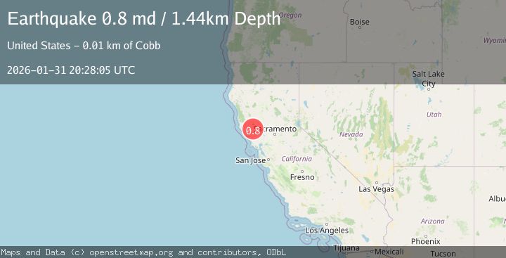
A 0.8 magnitude earthquake struck on 10 km NW of The Geysers, CA, at Sat, 31 Jan 2026 20:28:05 GMT. Depth: 1.44000005722046km. Reviewed by USGS seismologists, this minor quake occurred at a magnitude type of md.
Magnitude
0.8
md
Source
USGS
Intensity
-
Agency Reports
1 Sources| Source | Magnitude | Depth | Time |
|---|---|---|---|
| USGSPrimary | 0.8 | 1 km | 7 hours ago |
Earthquake Details
AutomaticEvent IDusgs_nc75304831
Tsunami PotentialNo
Magnitude Typemd
Nearest Places
- Wildhorse Creek0.7 km
- Black Oaks0.8 km
- Caldwell Ranch0.9 km
- Coldwater Canyon1.1 km
- Bear Canyon2.0 km
Comments
Join the discussion about this event.
Latest Earthquakes
3.1Mag
OFF COAST OF TARAPACA, CHILE
Time7 hours ago
Depth28.70 km
SourceCSN (Automatic)
2.9Mag
Java, Indonesia
Time7 hours ago
Depth67.25 km
SourceBMKG (Automatic)
4.4Mag
Near North Coast of West Papua
Time7 hours ago
Depth70.10 km
SourceBMKG (Automatic)
2.4Mag
Northern Sumatra, Indonesia
Time7 hours ago
Depth5.00 km
SourceBMKG (Automatic)
2.6Mag
GREECE
Time7 hours ago
Depth8.60 km
SourceNOA (Automatic)
Nearby Earthquakes
1.2Mag
10 km NW of The Geysers, CA
Time3 days ago
Depth1.48 km
SourceUSGS (Automatic)
0.7Mag
10 km NW of The Geysers, CA
Time5 days ago
Depth1.16 km
SourceUSGS (Automatic)
1.6Mag
10 km NW of The Geysers, CA
Time1 week ago
Depth1.46 km
SourceUSGS (Automatic)
1.3Mag
9 km NW of The Geysers, CA
Time6 days ago
Depth1.92 km
SourceUSGS (Automatic)
0.5Mag
Northern California
Time1 week ago
Depth2.00 km
SourceUSGS (Automatic)