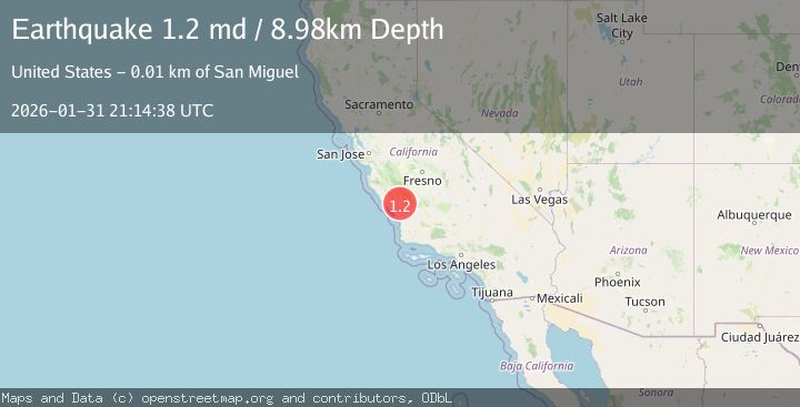
Earthquake 6 km ESE of San Miguel, CA
Sat, 31 Jan 2026 21:14:38 GMT
Time2 days ago
Location
35.7403, -120.6312
Depth
9.0 KM
Event Summary
A 1.2 magnitude earthquake struck on 6 km ESE of San Miguel, CA, at Sat, 31 Jan 2026 21:14:38 GMT. Depth: 8.97999954223633km. Reviewed by USGS seismologists, this minor quake occurred at a magnitude type of md.
Magnitude
1.2
md
Source
USGS
Intensity
-
Agency Reports
1 Sources| Source | Magnitude | Depth | Time |
|---|---|---|---|
| USGSPrimary | 1.2 | 9 km | 2 days ago |
Earthquake Details
AutomaticEvent IDusgs_nc75304846
Tsunami PotentialNo
Magnitude Typemd
Nearest Places
- Ranchito School (historical)1.7 km
- Lowes Canyon2.8 km
- San Jacinto Creek2.8 km
- Ranchito Canyon2.8 km
- Pleasant Valley Elementary School3.6 km
Comments
Join the discussion about this event.
Latest Earthquakes
2.2Mag
7 km S of Badger, Alaska
Time4 minutes ago
Depth19.20 km
SourceUSGS (Automatic)
1.9Mag
87 km N of Yakutat, Alaska
Time17 minutes ago
Depth5.00 km
SourceUSGS (Automatic)
1.8Mag
44 km NW of Tatitlek, Alaska
Time21 minutes ago
Depth17.80 km
SourceUSGS (Automatic)
2.3Mag
Flores Region, Indonesia
Time21 minutes ago
Depth17.19 km
SourceBMKG (Automatic)
3.6Mag
Sumbawa Region, Indonesia
Time23 minutes ago
Depth14.84 km
SourceBMKG (Automatic)
Nearby Earthquakes
0.6Mag
12 km WSW of Parkfield, CA
Time1 week ago
Depth11.00 km
SourceUSGS (Automatic)
1.2Mag
Central California
Time2 weeks ago
Depth5.93 km
SourceUSGS (Automatic)
1.4Mag
15 km NW of Parkfield, CA
Time1 week ago
Depth3.45 km
SourceUSGS (Automatic)
1.7Mag
16 km NW of Parkfield, CA
Time5 days ago
Depth1.32 km
SourceUSGS (Automatic)
0.7Mag
17 km NW of Parkfield, CA
Time4 days ago
Depth0.97 km
SourceUSGS (Automatic)