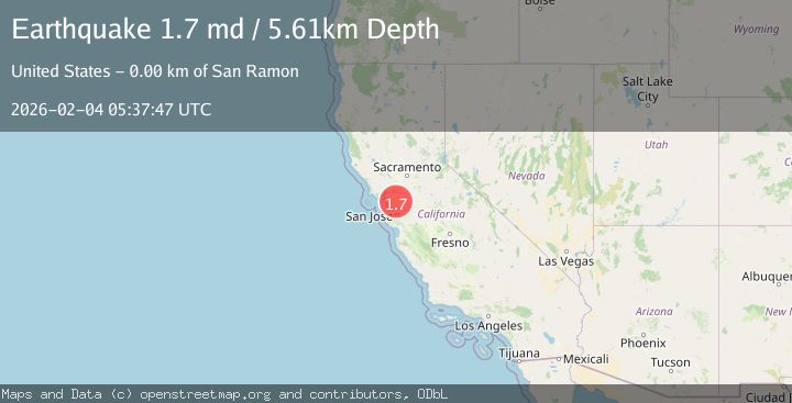
Earthquake 5 km ESE of San Ramon, CA
Wed, 04 Feb 2026 04:57:15 GMT
Time7 hours ago
Location
37.7595, -121.9322
Depth
7.1 KM
Event Summary
A 1.7 magnitude earthquake struck on 5 km ESE of San Ramon, CA, at Wed, 04 Feb 2026 04:57:15 GMT. Depth: 7.05000019073486km. Reviewed by USGS seismologists, this minor quake occurred at a magnitude type of md.
Magnitude
1.7
md
Source
USGS
Intensity
-
Agency Reports
1 Sources| Source | Magnitude | Depth | Time |
|---|---|---|---|
| USGSPrimary | 1.7 | 6 km | 6 hours ago |
Earthquake Details
AutomaticEvent IDusgs_nc75308122
Tsunami PotentialNo
Magnitude Typemd
Nearest Places
- City of San Ramon0.5 km
- San Ramon Village Shopping Center1.0 km
- Canyon Lakes Golf Course1.1 km
- Coyote Creek1.3 km
- Dougherty Hills1.4 km
Comments
Join the discussion about this event.
Latest Earthquakes
2.3Mag
Minahassa Peninsula, Sulawesi
Time6 minutes ago
Depth80.65 km
SourceBMKG (Automatic)
1.4Mag
EASTERN TURKEY
Time11 minutes ago
Depth10.30 km
SourceAFAD (Automatic)
3.4Mag
TARAPACA, CHILE
Time11 minutes ago
Depth47.20 km
SourceCSN (Automatic)
0.9Mag
WESTERN TURKEY
Time20 minutes ago
Depth7.00 km
SourceAFAD (Automatic)
2.0Mag
6 km SE of Sunol, CA
Time22 minutes ago
Depth9.29 km
SourceUSGS (Automatic)
Nearby Earthquakes
2.2Mag
4 km ESE of San Ramon, CA
Time1 day ago
Depth4.23 km
SourceUSGS (Automatic)
1.4Mag
5 km ESE of San Ramon, CA
Time3 days ago
Depth5.98 km
SourceUSGS (Automatic)
1.3Mag
4 km SE of San Ramon, CA
Time1 week ago
Depth1.02 km
SourceUSGS (Automatic)
1.8Mag
4 km ESE of San Ramon, CA
Time1 day ago
Depth6.84 km
SourceUSGS (Automatic)
2.5Mag
4 km ESE of San Ramon, CA
Time1 day ago
Depth6.42 km
SourceUSGS (Automatic)