Earthquake 10 km WNW of The Geysers, CA
Mon, 09 Feb 2026 09:12:20 GMT
Time1 hour ago
Location
38.8255, -122.8582
Depth
2.6 KM
Event Summary
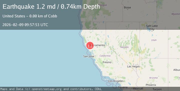
A 1.2 magnitude earthquake struck on 10 km WNW of The Geysers, CA, at Mon, 09 Feb 2026 09:12:20 GMT. Depth: 2.64000010490417km. Reviewed by USGS seismologists, this minor quake occurred at a magnitude type of md.
Magnitude
1.2
md
Source
USGS
Intensity
-
Agency Reports
1 Sources| Source | Magnitude | Depth | Time |
|---|---|---|---|
| USGSPrimary | 1.2 | 1 km | 48 minutes ago |
Earthquake Details
AutomaticEvent IDusgs_nc75311172
Tsunami PotentialNo
Magnitude Typemd
Nearest Places
- Buckeye Mine0.3 km
- Cloverdale Mine Headquarters1.2 km
- Alder Creek1.3 km
- Truitt Creek1.5 km
- Hummingbird Creek1.5 km
Comments
Join the discussion about this event.
Latest Earthquakes
1.8Mag
9 km ENE of Calumet, Oklahoma
Time6 minutes ago
Depth4.50 km
SourceUSGS (Automatic)
2.9Mag
West Papua Region, Indonesia
Time7 minutes ago
Depth10.00 km
SourceBMKG (Automatic)
1.7Mag
60 km N of Chase, Alaska
Time14 minutes ago
Depth81.80 km
SourceUSGS (Automatic)
4.2Mag
VIRGIN ISLANDS REGION
Time16 minutes ago
Depth31.70 km
SourceNEIC (Automatic)
1.1Mag
7 km W of Cobb, CA
Time17 minutes ago
Depth1.80 km
SourceUSGS (Automatic)
Nearby Earthquakes
1.5Mag
10 km WNW of The Geysers, CA
Time1 week ago
Depth2.37 km
SourceUSGS (Automatic)
1.2Mag
10 km WNW of The Geysers, CA
Time2 weeks ago
Depth2.21 km
SourceUSGS (Automatic)
0.8Mag
10 km WNW of The Geysers, CA
Time2 weeks ago
Depth2.70 km
SourceUSGS (Automatic)
0.8Mag
10 km WNW of The Geysers, CA
Time2 weeks ago
Depth1.49 km
SourceUSGS (Automatic)
0.8Mag
10 km WNW of The Geysers, CA
Time1 week ago
Depth2.37 km
SourceUSGS (Automatic)