Earthquake 2 km NE of Danville, CA
Thu, 12 Feb 2026 14:01:40 GMT
Time6 days ago
Location
37.8328, -121.9823
Depth
4.2 KM
Event Summary
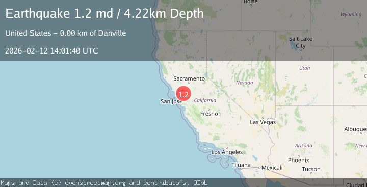
A 1.2 magnitude earthquake struck on 2 km NE of Danville, CA, at Thu, 12 Feb 2026 14:01:40 GMT. Depth: 4.21999979019165km. Reviewed by USGS seismologists, this minor quake occurred at a magnitude type of md.
Magnitude
1.2
md
Source
USGS
Intensity
-
Agency Reports
1 Sources| Source | Magnitude | Depth | Time |
|---|---|---|---|
| USGSPrimary | 1.2 | 4 km | 6 days ago |
Earthquake Details
AutomaticEvent IDusgs_nc75312692
Tsunami PotentialNo
Magnitude Typemd
Nearest Places
Comments
Join the discussion about this event.
Latest Earthquakes
4.5Mag
Central Alaska
Time1 minute ago
Depth7.81 km
SourceVYT (Automatic)
1.9Mag
1 km SSW of Pāhala, Hawaii
Time4 minutes ago
Depth28.47 km
SourceUSGS (Automatic)
1.5Mag
5 km NW of The Geysers, CA
Time5 minutes ago
Depth2.47 km
SourceUSGS (Automatic)
0.3Mag
10 km WNW of The Geysers, CA
Time7 minutes ago
Depth2.50 km
SourceUSGS (Automatic)
2.5Mag
Central Alaska
Time9 minutes ago
Depth112.55 km
SourceVYT (Automatic)
Nearby Earthquakes
3.0Mag
SAN FRANCISCO BAY AREA, CALIF.
Time8 years ago
Depth6.00 km
SourceNC (Automatic)
1.3Mag
1 km NW of Danville, CA
Time3 weeks ago
Depth4.39 km
SourceUSGS (Automatic)
3.0Mag
SAN FRANCISCO BAY AREA, CALIF.
Time10 years ago
Depth9.00 km
SourceNEIC (Automatic)
3.0Mag
SAN FRANCISCO BAY AREA, CALIF.
Time10 years ago
Depth7.00 km
SourceNC (Automatic)
1.2Mag
3 km E of San Ramon, CA
Time1 week ago
Depth5.35 km
SourceUSGS (Automatic)