Earthquake 7 km NW of The Geysers, CA
Fri, 13 Feb 2026 00:47:50 GMT
Time5 days ago
Location
38.8227, -122.8107
Depth
2.9 KM
Event Summary
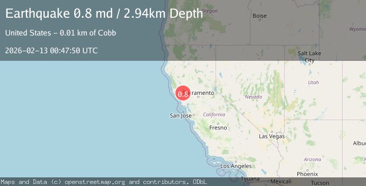
A 0.8 magnitude earthquake struck on 7 km NW of The Geysers, CA, at Fri, 13 Feb 2026 00:47:50 GMT. Depth: 2.94000005722046km. Reviewed by USGS seismologists, this minor quake occurred at a magnitude type of md.
Magnitude
0.8
md
Source
USGS
Intensity
-
Agency Reports
1 Sources| Source | Magnitude | Depth | Time |
|---|---|---|---|
| USGSPrimary | 0.8 | 3 km | 5 days ago |
Earthquake Details
AutomaticEvent IDusgs_nc75312952
Tsunami PotentialNo
Magnitude Typemd
Nearest Places
- Bear Canyon0.7 km
- Coldwater Canyon1.6 km
- Black Oaks2.1 km
- Caldwell Pines2.5 km
- Geyser Canyon2.5 km
Comments
Join the discussion about this event.
Latest Earthquakes
1.0Mag
Southeastern Alaska
Time4 hours ago
Depth0.00 km
SourceVYT (Automatic)
1.9Mag
4 km NNW of The Geysers, CA
Time4 hours ago
Depth2.14 km
SourceUSGS (Automatic)
2.3Mag
Tarapaca, Chile
Time4 hours ago
Depth114.14 km
SourceVYT (Automatic)
2.1Mag
Southern Alaska
Time4 hours ago
Depth67.26 km
SourceVYT (Automatic)
2.2Mag
western Russia
Time4 hours ago
Depth0.00 km
SourceVYT (Automatic)
Nearby Earthquakes
0.8Mag
7 km NW of The Geysers, CA
Time1 week ago
Depth2.83 km
SourceUSGS (Automatic)
1.3Mag
7 km NW of The Geysers, CA
Time2 days ago
Depth1.22 km
SourceUSGS (Automatic)
0.8Mag
7 km NW of The Geysers, CA
Time6 days ago
Depth2.91 km
SourceUSGS (Automatic)
0.8Mag
7 km NW of The Geysers, CA
Time2 weeks ago
Depth2.90 km
SourceUSGS (Automatic)
1.5Mag
7 km NW of The Geysers, CA
Time4 hours ago
Depth2.48 km
SourceUSGS (Automatic)