Earthquake 9 km E of Alum Rock, CA
Sat, 21 Feb 2026 02:43:03 GMT
Time1 hour ago
Location
37.3728, -121.7292
Depth
5.9 KM
Event Summary
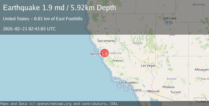
A 1.9 magnitude earthquake struck on 9 km E of Alum Rock, CA, at Sat, 21 Feb 2026 02:43:03 GMT. Depth: 5.92000007629395km. Reviewed by USGS seismologists, this minor quake occurred at a magnitude type of md.
Magnitude
1.9
md
Source
USGS
Intensity
-
Agency Reports
1 Sources| Source | Magnitude | Depth | Time |
|---|---|---|---|
| USGSPrimary | 1.9 | 6 km | 1 hour ago |
Earthquake Details
AutomaticEvent IDusgs_nc75316567
Tsunami PotentialNo
Magnitude Typemd
Nearest Places
- 2.8 km
- 2.9 km
- 3.0 km
- 3.1 km
- 3.4 km
Comments
Join the discussion about this event.
Latest Earthquakes
2.7Mag
Fox Islands, Aleutian Islands, Alaska
Time1 hour ago
Depth40.41 km
SourceVYT (Automatic)
2.4Mag
Southeastern Alaska
Time1 hour ago
Depth74.58 km
SourceVYT (Automatic)
2.6Mag
EASTERN TURKEY
Time1 hour ago
Depth4.80 km
SourceKOERI (Automatic)
2.4Mag
ISLAND OF HAWAII, HAWAII
Time1 hour ago
Depth1.30 km
SourceHV (Automatic)
1.3Mag
WESTERN TURKEY
Time1 hour ago
Depth6.90 km
SourceAFAD (Automatic)
Nearby Earthquakes
2.1Mag
SAN FRANCISCO BAY AREA, CALIF.
Time1 day ago
Depth6.40 km
SourceNC (Automatic)
1.9Mag
9 km E of Alum Rock, CA
Time3 weeks ago
Depth6.05 km
SourceUSGS (Automatic)
1.4Mag
9 km E of Alum Rock, CA
Time2 weeks ago
Depth-0.45 km
SourceUSGS (Automatic)
3.0Mag
NORTHERN CALIFORNIA
Time9 years ago
Depth10.00 km
SourceNC (Automatic)
1.0Mag
10 km ENE of Alum Rock, CA
Time6 days ago
Depth4.16 km
SourceUSGS (Automatic)