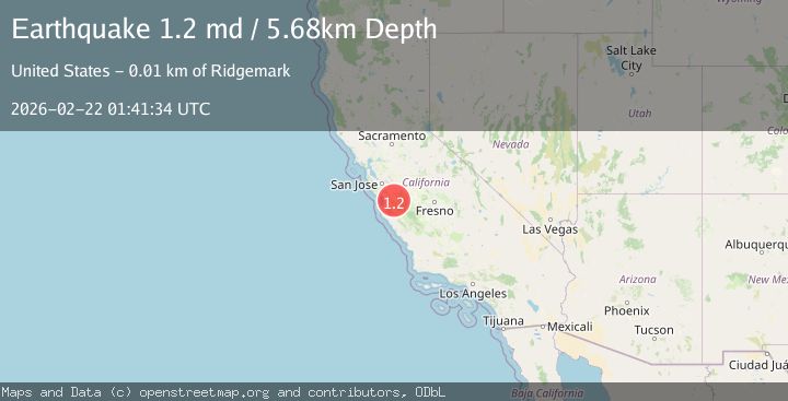
Earthquake 5 km SW of Ridgemark, CA
Sun, 22 Feb 2026 01:41:34 GMT
Time11 hours ago
Location
36.7793, -121.4040
Depth
5.7 KM
Event Summary
A 1.2 magnitude earthquake struck on 5 km SW of Ridgemark, CA, at Sun, 22 Feb 2026 01:41:34 GMT. Depth: 5.67999982833862km. Reviewed by USGS seismologists, this minor quake occurred at a magnitude type of md.
Magnitude
1.2
md
Source
USGS
Intensity
-
Agency Reports
1 Sources| Source | Magnitude | Depth | Time |
|---|---|---|---|
| USGSPrimary | 1.2 | 6 km | 11 hours ago |
Earthquake Details
AutomaticEvent IDusgs_nc75317427
Tsunami PotentialNo
Magnitude Typemd
Nearest Places
- 1.2 km
- 2.4 km
- 2.5 km
- 2.5 km
- 2.8 km
Comments
Join the discussion about this event.
Latest Earthquakes
1.5Mag
Fox Islands, Aleutian Islands, Alaska
Time4 hours ago
Depth40.77 km
SourceVYT (Automatic)
1.3Mag
13 km SW of Searles Valley, CA
Time4 hours ago
Depth4.25 km
SourceUSGS (Automatic)
2.7Mag
Near North Coast of West Papua
Time4 hours ago
Depth17.60 km
SourceBMKG
1.3Mag
22 km E of Anderson, Alaska
Time4 hours ago
Depth14.10 km
SourceUSGS (Automatic)
2.6Mag
OFFSHORE EL SALVADOR
Time4 hours ago
Depth31.00 km
SourceINET (Automatic)
Nearby Earthquakes
1.5Mag
5 km SW of Ridgemark, CA
Time1 week ago
Depth5.31 km
SourceUSGS (Automatic)
3.3Mag
CENTRAL CALIFORNIA
Time1 week ago
Depth7.00 km
SourceNC (Automatic)
2.5Mag
CENTRAL CALIFORNIA
Time1 week ago
Depth7.40 km
SourceNC (Automatic)
3.0Mag
CENTRAL CALIFORNIA
Time2 months ago
Depth5.00 km
SourceNEIC (Automatic)
3.0Mag
CENTRAL CALIFORNIA
Time5 years ago
Depth5.00 km
SourceNEIC (Automatic)