Earthquake 17 km S of Tres Pinos, CA
Mon, 23 Feb 2026 10:16:53 GMT
Time1 hour ago
Location
36.6395, -121.3023
Depth
5.4 KM
Event Summary
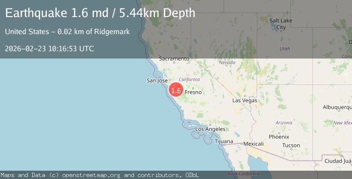
A 1.6 magnitude earthquake struck on 17 km S of Tres Pinos, CA, at Mon, 23 Feb 2026 10:16:53 GMT. Depth: 5.44000005722046km. Reviewed by USGS seismologists, this minor quake occurred at a magnitude type of md.
Magnitude
1.6
md
Source
USGS
Intensity
-
Agency Reports
1 Sources| Source | Magnitude | Depth | Time |
|---|---|---|---|
| USGSPrimary | 1.6 | 5 km | 1 hour ago |
Earthquake Details
AutomaticEvent IDusgs_nc75317972
Tsunami PotentialNo
Magnitude Typemd
Nearest Places
- 1.3 km
- 1.7 km
- 3.4 km
- 3.4 km
- 3.9 km
Comments
Join the discussion about this event.
Latest Earthquakes
1.7Mag
Central Alaska
Time1 hour ago
Depth6.84 km
SourceVYT (Automatic)
3.1Mag
Tarapaca, Chile
Time1 hour ago
Depth10.86 km
SourceVYT (Automatic)
1.3Mag
9 km NE of Borrego Springs, CA
Time1 hour ago
Depth9.40 km
SourceUSGS (Automatic)
2.1Mag
Sweden
Time1 hour ago
Depth0.12 km
SourceVYT (Automatic)
3.4Mag
Fox Islands, Aleutian Islands, Alaska
Time1 hour ago
Depth0.00 km
SourceVYT (Automatic)
Nearby Earthquakes
2.6Mag
CENTRAL CALIFORNIA
Time2 weeks ago
Depth6.20 km
SourceNC (Automatic)
1.6Mag
17 km S of Tres Pinos, CA
Time1 month ago
Depth5.25 km
SourceUSGS (Automatic)
1.2Mag
17 km S of Tres Pinos, CA
Time2 weeks ago
Depth6.76 km
SourceUSGS (Automatic)
1.2Mag
17 km S of Tres Pinos, CA
Time2 weeks ago
Depth5.50 km
SourceUSGS (Automatic)
2.7Mag
CENTRAL CALIFORNIA
Time6 days ago
Depth6.00 km
SourceNC (Automatic)