Earthquake 4 km ESE of San Ramon, CA
Mon, 02 Mar 2026 07:47:00 GMT
Time2 hours ago
Location
37.7587, -121.9377
Depth
4.9 KM
Event Summary
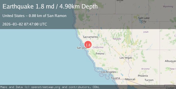
A 1.8 magnitude earthquake struck on 4 km ESE of San Ramon, CA, at Mon, 02 Mar 2026 07:47:00 GMT. Depth: 4.90000009536743km. Reviewed by USGS seismologists, this minor quake occurred at a magnitude type of md.
Magnitude
1.8
md
Source
USGS
Intensity
-
Agency Reports
1 Sources| Source | Magnitude | Depth | Time |
|---|---|---|---|
| USGSPrimary | 1.8 | 5 km | 2 hours ago |
Earthquake Details
AutomaticEvent IDusgs_nc75321182
Tsunami PotentialNo
Magnitude Typemd
Nearest Places
- 0.4 km
- 0.6 km
- 0.7 km
- 0.8 km
- 1.0 km
Comments
Join the discussion about this event.
Latest Earthquakes
3.0Mag
West Papua Region, Indonesia
Time1 hour ago
Depth10.00 km
SourceBMKG
1.6Mag
17 km WSW of Toms Place, CA
Time1 hour ago
Depth2.33 km
SourceUSGS (Automatic)
3.1Mag
Tarapaca, Chile
Time1 hour ago
Depth208.86 km
SourceVYT (Automatic)
2.4Mag
Alaska Peninsula
Time1 hour ago
Depth217.29 km
SourceVYT (Automatic)
2.5Mag
northwestern Russia
Time2 hours ago
Depth0.00 km
SourceVYT (Automatic)
Nearby Earthquakes
2.3Mag
SAN FRANCISCO BAY AREA, CALIF.
Time2 hours ago
Depth5.30 km
SourceNC (Automatic)
1.7Mag
4 km SE of San Ramon, CA
Time1 week ago
Depth7.10 km
SourceUSGS (Automatic)
1.3Mag
4 km SE of San Ramon, CA
Time1 month ago
Depth1.02 km
SourceUSGS (Automatic)
1.5Mag
4 km ESE of San Ramon, CA
Time2 weeks ago
Depth7.82 km
SourceUSGS (Automatic)
2.3Mag
SAN FRANCISCO BAY AREA, CALIF.
Time3 weeks ago
Depth8.20 km
SourceNC (Automatic)