Earthquake 10 km WNW of The Geysers, CA
Mon, 02 Mar 2026 20:22:06 GMT
Time3 hours ago
Location
38.8235, -122.8552
Depth
1.9 KM
Event Summary
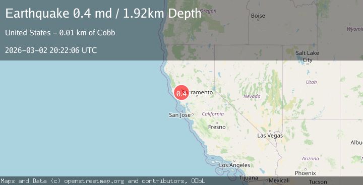
A 0.4 magnitude earthquake struck on 10 km WNW of The Geysers, CA, at Mon, 02 Mar 2026 20:22:06 GMT. Depth: 1.91999995708466km. Reviewed by USGS seismologists, this minor quake occurred at a magnitude type of md.
Magnitude
0.4
md
Source
USGS
Intensity
-
Agency Reports
1 Sources| Source | Magnitude | Depth | Time |
|---|---|---|---|
| USGSPrimary | 0.4 | 2 km | 3 hours ago |
Earthquake Details
AutomaticEvent IDusgs_nc75321542
Tsunami PotentialNo
Magnitude Typemd
Nearest Places
- 0.3 km
- 1.2 km
- 1.5 km
- 1.6 km
- 1.7 km
Comments
Join the discussion about this event.
Latest Earthquakes
2.2Mag
Pyrenees
Time3 hours ago
Depth0.00 km
SourceVYT (Automatic)
2.1Mag
NEVADA
Time3 hours ago
Depth5.90 km
SourceNN (Automatic)
2.7Mag
West Papua Region, Indonesia
Time3 hours ago
Depth32.47 km
SourceBMKG
1.9Mag
14 km N of Susanville, CA
Time3 hours ago
Depth6.94 km
SourceUSGS (Automatic)
3.9Mag
West Papua, Indonesia
Time3 hours ago
Depth121.38 km
SourceBMKG
Nearby Earthquakes
0.4Mag
10 km WNW of The Geysers, CA
Time2 weeks ago
Depth2.11 km
SourceUSGS (Automatic)
0.8Mag
10 km WNW of The Geysers, CA
Time1 month ago
Depth2.70 km
SourceUSGS (Automatic)
0.7Mag
10 km WNW of The Geysers, CA
Time1 week ago
Depth2.56 km
SourceUSGS (Automatic)
1.5Mag
10 km WNW of The Geysers, CA
Time1 month ago
Depth2.37 km
SourceUSGS (Automatic)
1.1Mag
10 km WNW of The Geysers, CA
Time1 week ago
Depth2.07 km
SourceUSGS (Automatic)