Earthquake 24 km SW of Snyder, Texas
Wed, 28 Jan 2026 17:38:45 GMT
Time2 hours ago
Location
32.5660, -101.1060
Depth
5.7 KM
Event Summary
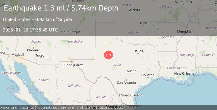
A 1.3 magnitude earthquake struck on 24 km SW of Snyder, Texas, at Wed, 28 Jan 2026 17:38:45 GMT. Depth: 5.7408km. Reviewed by USGS seismologists, this minor quake occurred at a magnitude type of ml.
Magnitude
1.3
ml
Source
USGS
Intensity
-
Agency Reports
1 Sources| Source | Magnitude | Depth | Time |
|---|---|---|---|
| USGSPrimary | 1.3 | 6 km | 2 hours ago |
Earthquake Details
AutomaticEvent IDusgs_tx2026byxscw
Tsunami PotentialNo
Magnitude Typeml
Nearest Places
- Bull Creek2.1 km
- Lake J B Thomas Dam3.4 km
- Bluff Creek4.7 km
- Dunn Lake5.1 km
- Dunn Lake Dam5.2 km
Comments
Join the discussion about this event.
Latest Earthquakes
2.6Mag
Sumbawa Region, Indonesia
Time2 minutes ago
Depth9.07 km
SourceBMKG (Automatic)
1.6Mag
83 km NNW of Karluk, Alaska
Time11 minutes ago
Depth5.00 km
SourceUSGS (Automatic)
1.5Mag
4 km NNW of Garden City, Texas
Time16 minutes ago
Depth2.51 km
SourceUSGS (Automatic)
2.4Mag
Sumbawa Region, Indonesia
Time19 minutes ago
Depth28.27 km
SourceBMKG (Automatic)
1.4Mag
9 km WSW of Pine Valley, CA
Time19 minutes ago
Depth-0.71 km
SourceUSGS (Automatic)
Nearby Earthquakes
1.2Mag
24 km SW of Snyder, Texas
Time2 days ago
Depth3.17 km
SourceUSGS (Automatic)
1.3Mag
24 km NNW of Westbrook, Texas
Time1 day ago
Depth3.71 km
SourceUSGS (Automatic)
4.3Mag
WESTERN TEXAS
Time2 days ago
Depth6.50 km
SourceTX (Automatic)
1.6Mag
25 km SW of Snyder, Texas
Time1 day ago
Depth0.55 km
SourceUSGS (Automatic)
1.7Mag
23 km SW of Snyder, Texas
Time2 days ago
Depth2.60 km
SourceUSGS (Automatic)