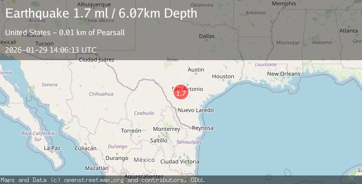
Earthquake 6 km ESE of Pearsall, Texas
Thu, 29 Jan 2026 14:06:13 GMT
Time1 day ago
Location
28.8790, -99.0320
Depth
6.1 KM
Event Summary
A 1.7 magnitude earthquake struck on 6 km ESE of Pearsall, Texas, at Thu, 29 Jan 2026 14:06:13 GMT. Depth: 6.0655km. Reviewed by USGS seismologists, this minor quake occurred at a magnitude type of ml.
Magnitude
1.7
ml
Source
USGS
Intensity
-
Agency Reports
1 Sources| Source | Magnitude | Depth | Time |
|---|---|---|---|
| USGSPrimary | 1.7 | 6 km | 1 day ago |
Earthquake Details
AutomaticEvent IDusgs_tx2026camjwa
Tsunami PotentialNo
Magnitude Typeml
Nearest Places
- Morrow Lake Number 12.2 km
- Morrow Lake Number 1 Dam2.3 km
- Morrow Lake Number 2 Dam2.9 km
- Morrow Lake Number 22.9 km
- Pearsall East Colonia4.0 km
Comments
Join the discussion about this event.
Latest Earthquakes
2.5Mag
Timor Region
Time4 minutes ago
Depth13.32 km
SourceBMKG (Automatic)
1.5Mag
2 km SW of Hollister, CA
Time5 minutes ago
Depth8.65 km
SourceUSGS (Automatic)
3.0Mag
MORO GULF, MINDANAO, PHILIPPINES
Time21 minutes ago
Depth8.00 km
SourcePIVS (Automatic)
3.1Mag
SOUTH ISLAND OF NEW ZEALAND
Time38 minutes ago
Depth87.70 km
SourceGNS (Automatic)
2.3Mag
Timor Region
Time41 minutes ago
Depth59.59 km
SourceBMKG (Automatic)
Nearby Earthquakes
1.8Mag
6 km E of Pearsall, Texas
Time3 days ago
Depth5.68 km
SourceUSGS (Automatic)
2.1Mag
SOUTHERN TEXAS
Time4 days ago
Depth6.70 km
SourceTX (Automatic)
1.8Mag
7 km ESE of Pearsall, Texas
Time5 days ago
Depth7.92 km
SourceUSGS (Automatic)
2.1Mag
SOUTHERN TEXAS
Time3 days ago
Depth0.00 km
SourceTX (Automatic)
1.8Mag
8 km E of Pearsall, Texas
Time3 days ago
Depth10.19 km
SourceUSGS (Automatic)