Earthquake 35 km SE of Mina, Nevada
Mon, 09 Feb 2026 04:28:04 GMT
Time1 hour ago
Location
38.2031, -117.7826
Depth
4.3 KM
Event Summary
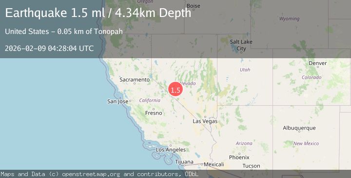
A 1.5 magnitude earthquake struck on 35 km SE of Mina, Nevada, at Mon, 09 Feb 2026 04:28:04 GMT. Depth: 4.3418km. Reviewed by USGS seismologists, this minor quake occurred at a magnitude type of ml.
Magnitude
1.5
ml
Source
USGS
Intensity
-
Agency Reports
1 Sources| Source | Magnitude | Depth | Time |
|---|---|---|---|
| USGSPrimary | 1.5 | 4 km | 1 hour ago |
Earthquake Details
AutomaticEvent IDusgs_nn00910554
Tsunami PotentialNo
Magnitude Typeml
Nearest Places
- Gilbert Mine7.1 km
- Monte Cristo Range7.2 km
- Mammoth Mine7.3 km
- Last Hope Mine7.5 km
- Monte Cristo Mine7.5 km
Comments
Join the discussion about this event.
Latest Earthquakes
1.6Mag
14 km S of Tres Pinos, CA
Time20 minutes ago
Depth3.35 km
SourceUSGS (Automatic)
3.5Mag
Timor Region
Time23 minutes ago
Depth195.15 km
SourceBMKG (Automatic)
1.1Mag
7 km NW of The Geysers, CA
Time28 minutes ago
Depth2.36 km
SourceUSGS (Automatic)
1.9Mag
WESTERN TURKEY
Time28 minutes ago
Depth7.00 km
SourceAFAD (Automatic)
1.7Mag
10 km SW of Brentwood, CA
Time39 minutes ago
Depth10.49 km
SourceUSGS (Automatic)
Nearby Earthquakes
1.6Mag
38 km ESE of Mina, Nevada
Time3 days ago
Depth3.72 km
SourceUSGS (Automatic)
2.2Mag
NEVADA
Time1 week ago
Depth10.60 km
SourceNN (Automatic)
1.7Mag
29 km SE of Mina, Nevada
Time1 day ago
Depth3.06 km
SourceUSGS (Automatic)
1.7Mag
10 km E of Mina, Nevada
Time3 days ago
Depth0.00 km
SourceUSGS (Automatic)
2.2Mag
NEVADA
Time2 weeks ago
Depth7.50 km
SourceNN (Automatic)