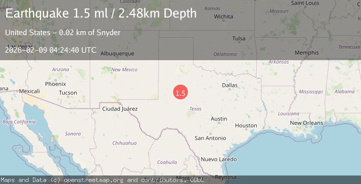
Earthquake 23 km SW of Snyder, Texas
Mon, 09 Feb 2026 04:24:40 GMT
Time1 hour ago
Location
32.5620, -101.0800
Depth
2.5 KM
Event Summary
A 1.5 magnitude earthquake struck on 23 km SW of Snyder, Texas, at Mon, 09 Feb 2026 04:24:40 GMT. Depth: 2.4823km. Reviewed by USGS seismologists, this minor quake occurred at a magnitude type of ml.
Magnitude
1.5
ml
Source
USGS
Intensity
-
Agency Reports
1 Sources| Source | Magnitude | Depth | Time |
|---|---|---|---|
| USGSPrimary | 1.5 | 2 km | 1 hour ago |
Earthquake Details
AutomaticEvent IDusgs_tx2026ctyckq
Tsunami PotentialNo
Magnitude Typeml
Nearest Places
- Bluff Creek2.5 km
- Bull Creek2.7 km
- Bluff Creek Cemetery3.7 km
- Lake J B Thomas Dam5.7 km
- Dunn Lake6.4 km
Comments
Join the discussion about this event.
Latest Earthquakes
1.6Mag
14 km S of Tres Pinos, CA
Time21 minutes ago
Depth3.35 km
SourceUSGS (Automatic)
3.5Mag
Timor Region
Time24 minutes ago
Depth195.15 km
SourceBMKG (Automatic)
1.1Mag
7 km NW of The Geysers, CA
Time29 minutes ago
Depth2.36 km
SourceUSGS (Automatic)
1.9Mag
WESTERN TURKEY
Time30 minutes ago
Depth7.00 km
SourceAFAD (Automatic)
1.7Mag
10 km SW of Brentwood, CA
Time40 minutes ago
Depth10.49 km
SourceUSGS (Automatic)
Nearby Earthquakes
1.8Mag
23 km SW of Snyder, Texas
Time1 week ago
Depth2.05 km
SourceUSGS (Automatic)
0.9Mag
23 km SW of Snyder, Texas
Time1 week ago
Depth3.41 km
SourceUSGS (Automatic)
2.0Mag
23 km NNW of Westbrook, Texas
Time1 day ago
Depth3.89 km
SourceUSGS (Automatic)
1.3Mag
23 km SW of Snyder, Texas
Time1 week ago
Depth2.69 km
SourceUSGS (Automatic)
1.5Mag
23 km SW of Snyder, Texas
Time1 week ago
Depth2.69 km
SourceUSGS (Automatic)