Earthquake 52 km NW of Toyah, Texas
Tue, 17 Feb 2026 12:33:55 GMT
Time22 hours ago
Location
31.6590, -104.1700
Depth
0.0 KM
Event Summary
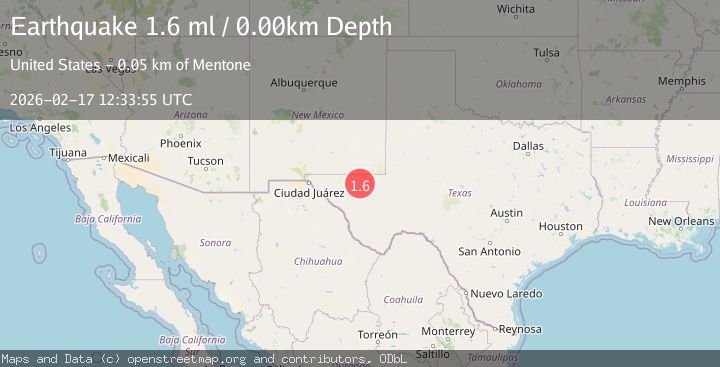
A 1.6 magnitude earthquake struck on 52 km NW of Toyah, Texas, at Tue, 17 Feb 2026 12:33:55 GMT. Depth: 0km. Reviewed by USGS seismologists, this minor quake occurred at a magnitude type of ml.
Magnitude
1.6
ml
Source
USGS
Intensity
-
Agency Reports
1 Sources| Source | Magnitude | Depth | Time |
|---|---|---|---|
| USGSPrimary | 1.6 | 0 km | 22 hours ago |
Earthquake Details
AutomaticEvent IDusgs_tx2026djgday
Tsunami PotentialNo
Magnitude Typeml
Nearest Places
- Monument Draw1.3 km
- Old Michigan Mine1.5 km
- Kohen Windmill1.6 km
- Rustler Hills2.3 km
- Monument Windmill2.9 km
Comments
Join the discussion about this event.
Latest Earthquakes
2.4Mag
Northern Sumatra, Indonesia
Time21 hours ago
Depth3.00 km
SourceBMKG
2.7Mag
SAN JUAN, ARGENTINA
Time21 hours ago
Depth96.00 km
SourceNSNA (Automatic)
3.9Mag
near the north coast of Papua, Indonesia
Time21 hours ago
Depth43.09 km
SourceVYT (Automatic)
2.2Mag
Antofagasta, Chile
Time21 hours ago
Depth125.73 km
SourceVYT (Automatic)
2.1Mag
Sumbawa Region, Indonesia
Time21 hours ago
Depth18.83 km
SourceBMKG
Nearby Earthquakes
3.0Mag
WESTERN TEXAS
Time5 years ago
Depth5.00 km
SourceNEIC (Automatic)
3.0Mag
WESTERN TEXAS
Time1 year ago
Depth6.00 km
SourceNEIC (Automatic)
3.0Mag
WESTERN TEXAS
Time1 year ago
Depth6.60 km
SourceTX (Automatic)
3.0Mag
WESTERN TEXAS
Time1 year ago
Depth11.40 km
SourceNEIC (Automatic)
3.0Mag
WESTERN TEXAS
Time1 year ago
Depth5.00 km
SourceNEIC (Automatic)