Earthquake 48 km NW of Toyah, Texas
Mon, 09 Feb 2026 15:00:44 GMT
Time1 hour ago
Location
31.6370, -104.1390
Depth
4.6 KM
Event Summary
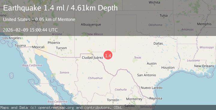
A 1.4 magnitude earthquake struck on 48 km NW of Toyah, Texas, at Mon, 09 Feb 2026 15:00:44 GMT. Depth: 4.6072km. Reviewed by USGS seismologists, this minor quake occurred at a magnitude type of ml.
Magnitude
1.4
ml
Source
USGS
Intensity
-
Agency Reports
1 Sources| Source | Magnitude | Depth | Time |
|---|---|---|---|
| USGSPrimary | 1.4 | 5 km | 1 hour ago |
Earthquake Details
AutomaticEvent IDusgs_tx2026cutedb
Tsunami PotentialNo
Magnitude Typeml
Nearest Places
- Old Michigan Mine4.0 km
- Monument Draw4.1 km
- Monument Windmill4.1 km
- Kohen Windmill5.4 km
- Rustler Hills6.0 km
Comments
Join the discussion about this event.
Latest Earthquakes
1.5Mag
11 km WSW of Stanton, Texas
Time4 minutes ago
Depth3.43 km
SourceUSGS (Automatic)
3.1Mag
Timor Region
Time4 minutes ago
Depth40.74 km
SourceBMKG (Automatic)
3.1Mag
Sumbawa Region, Indonesia
Time8 minutes ago
Depth45.70 km
SourceBMKG (Automatic)
4.0Mag
OFFSHORE COQUIMBO, CHILE
Time12 minutes ago
Depth26.40 km
SourceCSN (Automatic)
0.7Mag
8 km NW of The Geysers, CA
Time19 minutes ago
Depth2.16 km
SourceUSGS (Automatic)
Nearby Earthquakes
1.6Mag
44 km NW of Toyah, Texas
Time6 days ago
Depth4.20 km
SourceUSGS (Automatic)
1.7Mag
44 km NW of Toyah, Texas
Time2 weeks ago
Depth4.27 km
SourceUSGS (Automatic)
3.2Mag
WESTERN TEXAS
Time2 days ago
Depth10.00 km
SourceNEIC (Automatic)
1.6Mag
47 km NW of Toyah, Texas
Time2 days ago
Depth6.24 km
SourceUSGS
1.7Mag
53 km W of Mentone, Texas
Time2 weeks ago
Depth4.42 km
SourceUSGS (Automatic)