Earthquake 23 km ESE of Madang, Papua New Guinea
Tue, 20 Jan 2026 07:21:58 GMT
Time1 week ago
Location
-5.2807, 145.9951
Depth
90.0 KM
Event Summary
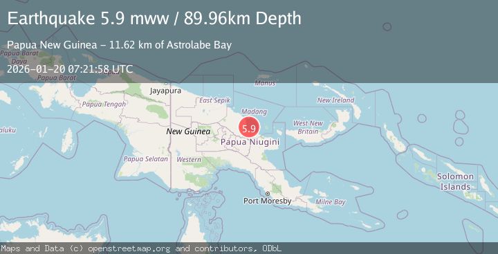
A 5.9 magnitude earthquake struck on 23 km ESE of Madang, Papua New Guinea, at Tue, 20 Jan 2026 07:21:58 GMT. Depth: 89.957km. Reviewed by USGS seismologists, this moderate quake occurred at a magnitude type of mww.
Magnitude
5.9
mww
Source
USGS
Intensity
-
Agency Reports
1 Sources| Source | Magnitude | Depth | Time |
|---|---|---|---|
| USGSPrimary | 5.9 | 90 km | 1 week ago |
Earthquake Details
ConfirmedEvent IDusgs_us7000rqrt
Tsunami PotentialNo
Magnitude Typemww
Nearest Places
- Astrolabe Bay11.6 km
- Planet Rock18.0 km
- Wagol River21.0 km
- Pook Island21.0 km
- Tab Island21.0 km
Comments
Join the discussion about this event.
Latest Earthquakes
2.3Mag
Flores Sea
Time13 hours ago
Depth21.75 km
SourceBMKG (Automatic)
2.2Mag
NEVADA
Time13 hours ago
Depth8.30 km
SourceNN (Automatic)
1.8Mag
13 km SSE of Volcano, Hawaii
Time13 hours ago
Depth3.46 km
SourceUSGS (Automatic)
1.4Mag
10 km N of Hollister, CA
Time13 hours ago
Depth10.13 km
SourceUSGS (Automatic)
1.2Mag
13 km WSW of Stanton, Texas
Time13 hours ago
Depth3.46 km
SourceUSGS (Automatic)
Nearby Earthquakes
5.8Mag
New Guinea, Papua New Guinea
Time17 hours ago
Depth122.44 km
SourceBMKG (Automatic)
4.0Mag
NEW GUINEA, PAPUA NEW GUINEA
Time5 days ago
Depth10.00 km
SourceBMKG (Automatic)
3.1Mag
West Papua, Indonesia
Time5 days ago
Depth41.57 km
SourceBMKG (Automatic)
2.3Mag
Near North Coast of West Papua
Time4 days ago
Depth10.00 km
SourceBMKG (Automatic)
2.8Mag
West Papua, Indonesia
Time3 days ago
Depth10.00 km
SourceBMKG (Automatic)