Earthquake Southern Alaska
Tue, 17 Feb 2026 06:34:51 GMT
Time1 day ago
Location
61.3594, -152.1785
Depth
3.8 KM
Event Summary
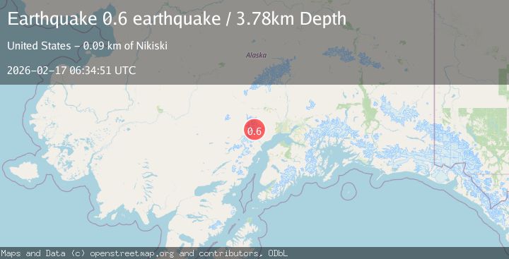
A 0.6 magnitude earthquake struck on Southern Alaska, at Tue, 17 Feb 2026 06:34:51 GMT. Depth: 3.7841796875km. Reviewed by VYT seismologists, this minor quake occurred at a magnitude type of earthquake.
Magnitude
0.6
earthquake
Source
VYT
Intensity
-
Agency Reports
1 Sources| Source | Magnitude | Depth | Time |
|---|---|---|---|
| VYTPrimary | 0.6 | 4 km | 1 day ago |
Earthquake Details
AutomaticEvent IDvyt_17h9s2wnwmg4z
Tsunami PotentialNo
Magnitude Typeearthquake
Nearest Places
- The Rowel5.2 km
- Spurr Ice Plateau5.6 km
- Mount Chichantna5.9 km
- Mount Spurr7.7 km
- Dogshead Glacier7.9 km
Comments
Join the discussion about this event.
Latest Earthquakes
1.4Mag
Central Alaska
Time11 minutes ago
Depth0.00 km
SourceVYT (Automatic)
1.4Mag
western Texas
Time13 minutes ago
Depth6.84 km
SourceVYT (Automatic)
1.3Mag
Southern Alaska
Time13 minutes ago
Depth96.80 km
SourceVYT (Automatic)
2.2Mag
Java, Indonesia
Time14 minutes ago
Depth97.25 km
SourceBMKG
2.9Mag
Ceram Sea
Time14 minutes ago
Depth12.69 km
SourceBMKG
Nearby Earthquakes
0.7Mag
62 km WNW of Beluga, Alaska
Time1 week ago
Depth5.00 km
SourceUSGS (Automatic)
0.8Mag
Southern Alaska
Time5 days ago
Depth0.24 km
SourceVYT (Automatic)
0.8Mag
Southern Alaska
Time5 days ago
Depth3.54 km
SourceVYT (Automatic)
0.7Mag
62 km WNW of Beluga, Alaska
Time2 weeks ago
Depth5.00 km
SourceUSGS (Automatic)
0.9Mag
66 km WNW of Beluga, Alaska
Time6 days ago
Depth12.90 km
SourceUSGS (Automatic)