Earthquake Southern Alaska
Thu, 12 Feb 2026 17:33:56 GMT
Time5 days ago
Location
61.3370, -152.1873
Depth
3.5 KM
Event Summary
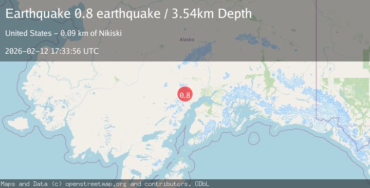
A 0.8 magnitude earthquake struck on Southern Alaska, at Thu, 12 Feb 2026 17:33:56 GMT. Depth: 3.5400390625km. Reviewed by VYT seismologists, this minor quake occurred at a magnitude type of earthquake.
Magnitude
0.8
earthquake
Source
VYT
Intensity
-
Agency Reports
1 Sources| Source | Magnitude | Depth | Time |
|---|---|---|---|
| VYTPrimary | 0.8 | 4 km | 5 days ago |
Earthquake Details
AutomaticEvent IDvyt_1w5h5ygchsdw3
Tsunami PotentialNo
Magnitude Typeearthquake
Nearest Places
- The Rowel2.6 km
- Spurr Ice Plateau3.5 km
- Mount Chichantna4.6 km
- Mount Spurr5.4 km
- Crater Peak8.0 km
Comments
Join the discussion about this event.
Latest Earthquakes
3.8Mag
Andreanof Islands, Aleutian Islands, Alaska
Time10 hours ago
Depth15.50 km
SourceVYT (Automatic)
1.7Mag
40 km NW of Toyah, Texas
Time10 hours ago
Depth4.25 km
SourceUSGS (Automatic)
1.3Mag
SWITZERLAND
Time10 hours ago
Depth7.60 km
SourceETHZ (Automatic)
2.7Mag
Andreanof Islands, Aleutian Islands, Alaska
Time10 hours ago
Depth29.17 km
SourceVYT (Automatic)
1.6Mag
44 km NW of Toyah, Texas
Time10 hours ago
Depth0.00 km
SourceUSGS (Automatic)
Nearby Earthquakes
0.7Mag
62 km WNW of Beluga, Alaska
Time1 week ago
Depth5.00 km
SourceUSGS (Automatic)
0.8Mag
Southern Alaska
Time5 days ago
Depth0.24 km
SourceVYT (Automatic)
2.2Mag
Southern Alaska
Time5 days ago
Depth22.22 km
SourceVYT (Automatic)
0.6Mag
Southern Alaska
Time3 days ago
Depth15.14 km
SourceVYT (Automatic)
0.6Mag
Southern Alaska
Time4 days ago
Depth3.42 km
SourceVYT (Automatic)