Earthquake Southern Alaska
Fri, 13 Feb 2026 06:05:21 GMT
Time5 days ago
Location
61.3457, -152.1684
Depth
0.2 KM
Event Summary
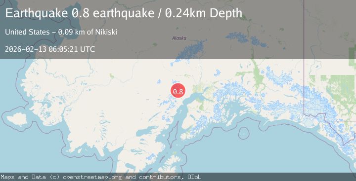
A 0.8 magnitude earthquake struck on Southern Alaska, at Fri, 13 Feb 2026 06:05:21 GMT. Depth: 0.244140625km. Reviewed by VYT seismologists, this minor quake occurred at a magnitude type of earthquake.
Magnitude
0.8
earthquake
Source
VYT
Intensity
-
Agency Reports
1 Sources| Source | Magnitude | Depth | Time |
|---|---|---|---|
| VYTPrimary | 0.8 | 0 km | 5 days ago |
Earthquake Details
AutomaticEvent IDvyt_3s59p9chqeb0f
Tsunami PotentialNo
Magnitude Typeearthquake
Nearest Places
- The Rowel3.8 km
- Spurr Ice Plateau4.8 km
- Mount Chichantna5.8 km
- Mount Spurr6.8 km
- Dogshead Glacier7.9 km
Comments
Join the discussion about this event.
Latest Earthquakes
2.1Mag
Southern Alaska
Time4 minutes ago
Depth67.26 km
SourceVYT (Automatic)
2.2Mag
western Russia
Time7 minutes ago
Depth0.00 km
SourceVYT (Automatic)
1.5Mag
4 km NNW of The Geysers, CA
Time7 minutes ago
Depth-0.27 km
SourceUSGS (Automatic)
1.0Mag
9 km WNW of Two Rivers, Alaska
Time8 minutes ago
Depth5.70 km
SourceUSGS (Automatic)
2.9Mag
NORTHERN CALIFORNIA
Time10 minutes ago
Depth0.10 km
SourceNC (Automatic)
Nearby Earthquakes
0.7Mag
62 km WNW of Beluga, Alaska
Time1 week ago
Depth5.00 km
SourceUSGS (Automatic)
0.8Mag
Southern Alaska
Time5 days ago
Depth3.54 km
SourceVYT (Automatic)
0.6Mag
Southern Alaska
Time1 day ago
Depth3.78 km
SourceVYT (Automatic)
1.2Mag
Southern Alaska
Time4 days ago
Depth0.00 km
SourceVYT (Automatic)
2.2Mag
Southern Alaska
Time5 days ago
Depth22.22 km
SourceVYT (Automatic)