Earthquake Kepulauan Tanimbar, Indonesia
Tue, 10 Feb 2026 16:32:56 GMT
Time1 week ago
Location
-7.8609, 130.2725
Depth
142.0 KM
Event Summary
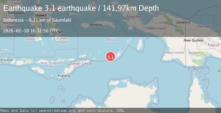
A 3.1 magnitude earthquake struck on Kepulauan Tanimbar, Indonesia, at Tue, 10 Feb 2026 16:32:56 GMT. Depth: 141.9677734375km. Reviewed by VYT seismologists, this minor quake occurred at a magnitude type of earthquake.
Magnitude
3.1
earthquake
Source
VYT
Intensity
-
Agency Reports
1 Sources| Source | Magnitude | Depth | Time |
|---|---|---|---|
| VYTPrimary | 3.1 | 142 km | 1 week ago |
Earthquake Details
AutomaticEvent IDvyt_1drf0pk6empqc
Tsunami PotentialNo
Magnitude Typeearthquake
Nearest Places
- Desa Nurnyaman23.4 km
- Nurnyaman23.8 km
- Desa Wiratan23.8 km
- Pulau Daweloor24.7 km
- Kecamatan Dawelor Dawera24.9 km
Comments
Join the discussion about this event.
Latest Earthquakes
2.1Mag
Tarapaca, Chile
Time2 minutes ago
Depth110.35 km
SourceVYT (Automatic)
2.1Mag
Southern Alaska
Time3 minutes ago
Depth19.90 km
SourceVYT (Automatic)
1.5Mag
Seattle-Tacoma urban area, Washington
Time5 minutes ago
Depth27.95 km
SourceVYT (Automatic)
2.4Mag
FRANCE
Time12 minutes ago
Depth2.70 km
SourceIGN (Automatic)
3.2Mag
Antofagasta, Chile
Time12 minutes ago
Depth149.90 km
SourceVYT (Automatic)
Nearby Earthquakes
5.9Mag
Tanimbar Islands Region, Indonesia
Time1 week ago
Depth100.00 km
SourceBMKG (Automatic)
3.5Mag
Tanimbar Islands Region, Indonesia
Time1 week ago
Depth126.00 km
SourceBMKG (Automatic)
3.5Mag
Tanimbar Islands Region, Indonesia
Time1 week ago
Depth105.26 km
SourceBMKG (Automatic)
4.2Mag
Tanimbar Islands Region, Indonesia
Time1 week ago
Depth137.60 km
SourceBMKG (Automatic)
5.1Mag
KEP. TANIMBAR REGION, INDONESIA
Time3 years ago
Depth60.00 km
SourceEMSC (Automatic)