Earthquake Southern Alaska
Tue, 17 Feb 2026 06:45:43 GMT
Time1 day ago
Location
59.3504, -152.4905
Depth
205.2 KM
Event Summary
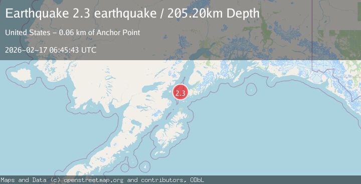
A 2.3 magnitude earthquake struck on Southern Alaska, at Tue, 17 Feb 2026 06:45:43 GMT. Depth: 205.2001953125km. Reviewed by VYT seismologists, this minor quake occurred at a magnitude type of earthquake.
Magnitude
2.3
earthquake
Source
VYT
Intensity
-
Agency Reports
1 Sources| Source | Magnitude | Depth | Time |
|---|---|---|---|
| VYTPrimary | 2.3 | 205 km | 1 day ago |
Earthquake Details
AutomaticEvent IDvyt_1f7f4cjl96hy9
Tsunami PotentialNo
Magnitude Typeearthquake
Nearest Places
- Jakolof Bay13.2 km
- Cook Inlet27.8 km
- Magnet Rock27.9 km
- Flat Island Light28.2 km
- Flat Islands28.3 km
Comments
Join the discussion about this event.
Latest Earthquakes
2.3Mag
Tarapaca, Chile
Time1 minute ago
Depth114.14 km
SourceVYT (Automatic)
2.1Mag
Southern Alaska
Time5 minutes ago
Depth67.26 km
SourceVYT (Automatic)
2.2Mag
western Russia
Time8 minutes ago
Depth0.00 km
SourceVYT (Automatic)
1.5Mag
4 km NNW of The Geysers, CA
Time9 minutes ago
Depth-0.27 km
SourceUSGS (Automatic)
1.0Mag
9 km WNW of Two Rivers, Alaska
Time9 minutes ago
Depth5.70 km
SourceUSGS (Automatic)
Nearby Earthquakes
1.6Mag
Southern Alaska
Time2 hours ago
Depth75.56 km
SourceVYT (Automatic)
3.0Mag
SOUTHERN ALASKA
Time7 years ago
Depth66.00 km
SourceNEIR (Automatic)
3.0Mag
SOUTHERN ALASKA
Time8 years ago
Depth64.00 km
SourceNEIR (Automatic)
2.3Mag
SOUTHERN ALASKA
Time1 month ago
Depth69.40 km
SourceNEIC (Automatic)
3.0Mag
SOUTHERN ALASKA
Time1 year ago
Depth84.90 km
SourceNEIC (Automatic)