Earthquake Southern Alaska
Mon, 16 Feb 2026 01:44:12 GMT
Time2 days ago
Location
61.9029, -150.0434
Depth
14.9 KM
Event Summary
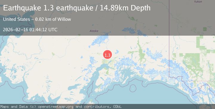
A 1.3 magnitude earthquake struck on Southern Alaska, at Mon, 16 Feb 2026 01:44:12 GMT. Depth: 14.892578125km. Reviewed by VYT seismologists, this minor quake occurred at a magnitude type of earthquake.
Magnitude
1.3
earthquake
Source
VYT
Intensity
-
Agency Reports
1 Sources| Source | Magnitude | Depth | Time |
|---|---|---|---|
| VYTPrimary | 1.3 | 15 km | 2 days ago |
Earthquake Details
AutomaticEvent IDvyt_1i26frfkacoq3
Tsunami PotentialNo
Magnitude Typeearthquake
Nearest Places
- 196 Mile Creek1.9 km
- Q'is Kaq'1.9 km
- 197 1/2 Mile Creek3.1 km
- Kashwitna River3.1 km
- Kilbitnu Kaq'3.2 km
Comments
Join the discussion about this event.
Latest Earthquakes
2.2Mag
Flores Region, Indonesia
Time18 hours ago
Depth28.78 km
SourceBMKG
1.8Mag
Antofagasta, Chile
Time18 hours ago
Depth32.10 km
SourceVYT (Automatic)
1.4Mag
FRANCE
Time18 hours ago
Depth2.40 km
SourceETHZ (Automatic)
2.4Mag
Minahassa Peninsula, Sulawesi
Time18 hours ago
Depth7.56 km
SourceBMKG
2.7Mag
Halmahera, Indonesia
Time18 hours ago
Depth58.00 km
SourceBMKG
Nearby Earthquakes
3.0Mag
SOUTHERN ALASKA
Time7 years ago
Depth50.00 km
SourceNEIC (Automatic)
3.0Mag
SOUTHERN ALASKA
Time9 years ago
Depth38.00 km
SourceNEIR (Automatic)
3.0Mag
SOUTHERN ALASKA
Time7 years ago
Depth45.00 km
SourceNEIC (Automatic)
3.0Mag
SOUTHERN ALASKA
Time9 months ago
Depth30.10 km
SourceNEIC (Automatic)
2.0Mag
Southern Alaska
Time22 hours ago
Depth43.70 km
SourceVYT (Automatic)