Earthquake Kenai Peninsula, Alaska
Mon, 16 Feb 2026 16:12:53 GMT
Time1 day ago
Location
60.5532, -151.5691
Depth
51.8 KM
Event Summary
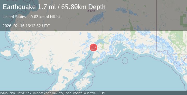
A 1.7 magnitude earthquake struck on Kenai Peninsula, Alaska, at Mon, 16 Feb 2026 16:12:53 GMT. Depth: 51.7578125km. Reviewed by VYT seismologists, this minor quake occurred at a magnitude type of earthquake.
Magnitude
1.7
earthquake
Source
VYT
Intensity
-
Agency Reports
2 Sources| Source | Magnitude | Depth | Time |
|---|---|---|---|
| VYTPrimary | 1.6 | 52 km | 1 day ago |
| USGS | 1.7 | 66 km | 1 day ago |
Earthquake Details
AutomaticEvent IDvyt_1oymtncv41sjv
Tsunami PotentialNo
Magnitude Typeearthquake
Nearest Places
- Salmo Rock12.4 km
- Henley Airport14.0 km
- Salamatof Creek14.5 km
- Salamatof Beach14.7 km
- Nikiski Fire Department Station 114.9 km
Comments
Join the discussion about this event.
Latest Earthquakes
2.0Mag
Poland
Time1 minute ago
Depth0.49 km
SourceVYT (Automatic)
1.9Mag
Antofagasta, Chile
Time4 minutes ago
Depth9.40 km
SourceVYT (Automatic)
1.3Mag
8 km NW of The Geysers, CA
Time5 minutes ago
Depth2.00 km
SourceUSGS (Automatic)
1.2Mag
63 km WNW of Toyah, Texas
Time7 minutes ago
Depth0.08 km
SourceUSGS (Automatic)
1.4Mag
12 km SSW of Salton City, CA
Time11 minutes ago
Depth5.74 km
SourceUSGS (Automatic)
Nearby Earthquakes
2.4Mag
13 km W of Kenai, Alaska
Time1 week ago
Depth69.00 km
SourceUSGS (Automatic)
1.5Mag
Kenai Peninsula, Alaska
Time5 days ago
Depth0.00 km
SourceVYT (Automatic)
3.0Mag
KENAI PENINSULA, ALASKA
Time1 year ago
Depth71.80 km
SourceNEIC (Automatic)
3.0Mag
KENAI PENINSULA, ALASKA
Time12 years ago
Depth85.00 km
SourceNEIR (Automatic)
2.3Mag
Kenai Peninsula, Alaska
Time1 week ago
Depth14.16 km
SourceVYT (Automatic)