Earthquake Timor Sea
Fri, 13 Feb 2026 13:41:07 GMT
Time5 days ago
Location
-8.2526, 128.7930
Depth
180.7 KM
Event Summary
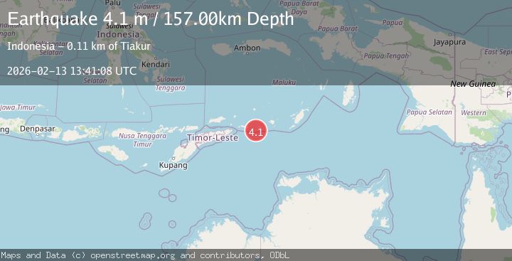
A 4.1 magnitude earthquake struck on Timor Sea, at Fri, 13 Feb 2026 13:41:07 GMT. Depth: 180.6640625km. Reviewed by VYT seismologists, this light quake occurred at a magnitude type of earthquake.
Magnitude
4.1
earthquake
Source
VYT
Intensity
-
Agency Reports
2 Sources| Source | Magnitude | Depth | Time |
|---|---|---|---|
| VYTPrimary | 3.6 | 181 km | 5 days ago |
| BMKG | 4.1 | 157 km | 5 days ago |
Earthquake Details
AutomaticEvent IDvyt_2a9xc26j2wytk
Tsunami PotentialNo
Magnitude Typeearthquake
Nearest Places
- Tanjung Talamatni5.9 km
- Tanjung Wahar6.9 km
- Pulau Kalapu7.9 km
- Desa Luang Timur8.0 km
- Gunung Morlawan8.6 km
Comments
Join the discussion about this event.
Latest Earthquakes
0.7Mag
8 km NW of The Geysers, CA
Time1 hour ago
Depth1.59 km
SourceUSGS (Automatic)
1.2Mag
Southern Alaska
Time1 hour ago
Depth16.72 km
SourceVYT (Automatic)
1.6Mag
49 km W of Mentone, Texas
Time1 hour ago
Depth4.59 km
SourceUSGS (Automatic)
3.1Mag
northern Colombia
Time1 hour ago
Depth219.97 km
SourceVYT (Automatic)
2.2Mag
Sumbawa Region, Indonesia
Time1 hour ago
Depth15.54 km
SourceBMKG
Nearby Earthquakes
6.1Mag
TIMOR SEA
Time18 years ago
Depth10.00 km
SourceEMSC (Automatic)
5.1Mag
TIMOR SEA
Time18 years ago
Depth20.00 km
SourceEMSC (Automatic)
5.4Mag
KEPULAUAN BABAR, INDONESIA
Time20 years ago
Depth2.00 km
SourceEMSC (Automatic)
3.8Mag
Timor Sea
Time1 week ago
Depth146.81 km
SourceBMKG
5.5Mag
KEPULAUAN BABAR, INDONESIA
Time15 years ago
Depth70.00 km
SourceEMSC (Automatic)