Earthquake Alaska Peninsula
Fri, 13 Feb 2026 19:03:01 GMT
Time4 days ago
Location
58.1146, -155.2046
Depth
102.7 KM
Event Summary
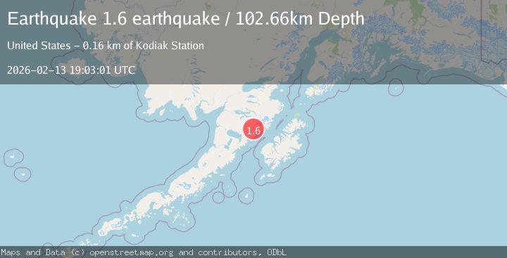
A 1.6 magnitude earthquake struck on Alaska Peninsula, at Fri, 13 Feb 2026 19:03:01 GMT. Depth: 102.6611328125km. Reviewed by VYT seismologists, this minor quake occurred at a magnitude type of earthquake.
Magnitude
1.6
earthquake
Source
VYT
Intensity
-
Agency Reports
1 Sources| Source | Magnitude | Depth | Time |
|---|---|---|---|
| VYTPrimary | 1.6 | 103 km | 4 days ago |
Earthquake Details
AutomaticEvent IDvyt_2ab9uq4qcm6kl
Tsunami PotentialNo
Magnitude Typeearthquake
Nearest Places
- Mageik Landslide1.4 km
- Topographers Peak4.1 km
- Observation Mountain7.6 km
- Martin Creek8.8 km
- Mount Mageik9.4 km
Comments
Join the discussion about this event.
Latest Earthquakes
2.4Mag
Region Metropolitana, Chile
Time23 hours ago
Depth80.44 km
SourceVYT (Automatic)
2.4Mag
offshore Coquimbo, Chile
Time23 hours ago
Depth10.00 km
SourceVYT (Automatic)
3.2Mag
Near North Coast of West Papua
Time23 hours ago
Depth28.97 km
SourceBMKG
3.2Mag
Southeastern Alaska
Time23 hours ago
Depth0.00 km
SourceVYT (Automatic)
1.0Mag
5 km WSW of Anza, CA
Time23 hours ago
Depth7.10 km
SourceUSGS (Automatic)
Nearby Earthquakes
3.0Mag
ALASKA PENINSULA
Time6 years ago
Depth5.00 km
SourceNEIR (Automatic)
1.6Mag
84 km NW of Karluk, Alaska
Time3 weeks ago
Depth5.00 km
SourceUSGS (Automatic)
1.7Mag
Alaska Peninsula
Time2 days ago
Depth0.00 km
SourceVYT (Automatic)
1.4Mag
Alaska Peninsula
Time4 days ago
Depth0.00 km
SourceVYT (Automatic)
2.0Mag
85 km NW of Karluk, Alaska
Time1 week ago
Depth5.00 km
SourceUSGS (Automatic)