Earthquake Southeastern Alaska
Fri, 27 Feb 2026 07:23:25 GMT
Time1 hour ago
Location
60.1453, -141.1573
Depth
15.3 KM
Event Summary
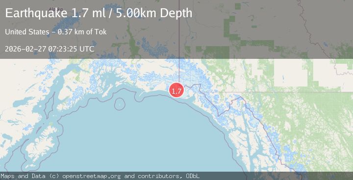
A 1.7 magnitude earthquake struck on Southeastern Alaska, at Fri, 27 Feb 2026 07:23:25 GMT. Depth: 15.2587890625km. Reviewed by VYT seismologists, this minor quake occurred at a magnitude type of earthquake.
Magnitude
1.7
earthquake
Source
VYT
Intensity
-
Agency Reports
2 Sources| Source | Magnitude | Depth | Time |
|---|---|---|---|
| VYTPrimary | 1.6 | 15 km | 1 hour ago |
| USGS | 1.7 | 5 km | 1 hour ago |
Earthquake Details
AutomaticEvent IDvyt_2dptym4yjzprf
Tsunami PotentialNo
Magnitude Typeearthquake
Nearest Places
- 4.0 km
- 5.7 km
- 5.8 km
- 7.3 km
- 8.6 km
Comments
Join the discussion about this event.
Latest Earthquakes
1.6Mag
24 km N of Searles Valley, CA
Time1 hour ago
Depth1.94 km
SourceUSGS (Automatic)
0.8Mag
7 km NW of The Geysers, CA
Time1 hour ago
Depth2.21 km
SourceUSGS (Automatic)
2.7Mag
Seram, Indonesia
Time1 hour ago
Depth10.00 km
SourceBMKG
1.7Mag
Tarapaca, Chile
Time1 hour ago
Depth5.37 km
SourceVYT (Automatic)
2.0Mag
Region Metropolitana, Chile
Time1 hour ago
Depth14.04 km
SourceVYT (Automatic)
Nearby Earthquakes
1.2Mag
Southeastern Alaska
Time3 days ago
Depth19.90 km
SourceVYT (Automatic)
3.0Mag
SOUTHERN ALASKA
Time2 years ago
Depth10.00 km
SourceNEIC (Automatic)
3.0Mag
110 km NW of Yakutat, Alaska
Time1 month ago
Depth16.90 km
SourceUSGS (Automatic)
1.3Mag
Southeastern Alaska
Time1 week ago
Depth1.71 km
SourceVYT (Automatic)
3.0Mag
SOUTHERN ALASKA
Time6 years ago
Depth4.00 km
SourceNEIC (Automatic)