Earthquake SOUTHERN ALASKA
Fri, 31 Jan 2020 11:54:07 GMT
Time6 years ago
Location
60.1900, -141.0500
Depth
4.0 KM
Event Summary
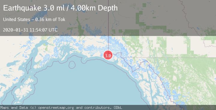
A 3.0 magnitude earthquake struck on SOUTHERN ALASKA, at Fri, 31 Jan 2020 11:54:07 GMT. Depth: 4km. Reviewed by NEIC seismologists, this minor quake occurred at a magnitude type of ml.
Magnitude
3.0
ml
Source
NEIC
Intensity
-
Agency Reports
1 Sources| Source | Magnitude | Depth | Time |
|---|---|---|---|
| NEICPrimary | 3.0 | 4 km | 6 years ago |
Earthquake Details
AutomaticEvent IDemsc_NEIC_20200131_0000096
Tsunami PotentialNo
Magnitude Typeml
Nearest Places
- Hoof Hill3.9 km
- Tyndall Glacier5.2 km
- Libbey Glacier5.8 km
- Agassiz Lakes6.7 km
- Haydon Peak8.5 km
Comments
Join the discussion about this event.
Latest Earthquakes
2.2Mag
Alaska Peninsula
Time2 hours ago
Depth57.74 km
SourceVYT (Automatic)
3.7Mag
WESTERN TURKEY
Time2 hours ago
Depth13.30 km
SourceKOERI (Automatic)
1.6Mag
27 km ESE of Balmorhea, Texas
Time2 hours ago
Depth3.56 km
SourceUSGS (Automatic)
1.6Mag
Southern Alaska
Time2 hours ago
Depth22.22 km
SourceVYT (Automatic)
1.9Mag
Spain
Time2 hours ago
Depth0.00 km
SourceVYT (Automatic)
Nearby Earthquakes
1.7Mag
Southeastern Alaska
Time3 hours ago
Depth18.43 km
SourceVYT (Automatic)
1.8Mag
106 km NW of Yakutat, Alaska
Time4 days ago
Depth17.50 km
SourceUSGS (Automatic)
1.1Mag
Southeastern Alaska
Time2 days ago
Depth16.60 km
SourceVYT (Automatic)
1.5Mag
97 km NW of Yakutat, Alaska
Time1 week ago
Depth1.80 km
SourceUSGS (Automatic)
1.6Mag
106 km NW of Yakutat, Alaska
Time4 days ago
Depth14.40 km
SourceUSGS (Automatic)