Earthquake Southeastern Alaska
Fri, 13 Feb 2026 05:53:07 GMT
Time5 days ago
Location
60.5037, -140.3184
Depth
8.9 KM
Event Summary
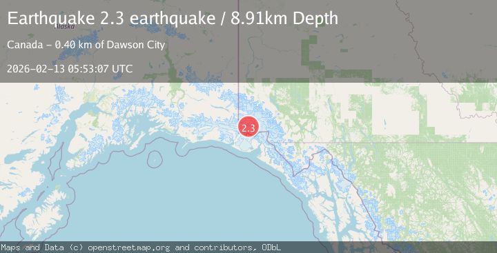
A 2.3 magnitude earthquake struck on Southeastern Alaska, at Fri, 13 Feb 2026 05:53:07 GMT. Depth: 8.9111328125km. Reviewed by VYT seismologists, this minor quake occurred at a magnitude type of earthquake.
Magnitude
2.3
earthquake
Source
VYT
Intensity
-
Agency Reports
1 Sources| Source | Magnitude | Depth | Time |
|---|---|---|---|
| VYTPrimary | 2.3 | 9 km | 5 days ago |
Earthquake Details
AutomaticEvent IDvyt_goh1gogo9255
Tsunami PotentialNo
Magnitude Typeearthquake
Nearest Places
- Mount Logan8.5 km
- McArthur Peak12.8 km
- Marker Lake18.1 km
- King Peak20.4 km
- Mount Baird22.8 km
Comments
Join the discussion about this event.
Latest Earthquakes
1.1Mag
Alaska Peninsula
Time13 hours ago
Depth55.79 km
SourceVYT (Automatic)
2.0Mag
12 km SSE of Volcano, Hawaii
Time13 hours ago
Depth3.09 km
SourceUSGS (Automatic)
2.1Mag
Kenai Peninsula, Alaska
Time14 hours ago
Depth0.00 km
SourceVYT (Automatic)
0.9Mag
4 km SSE of Banning, CA
Time14 hours ago
Depth12.80 km
SourceUSGS (Automatic)
1.9Mag
Poland
Time14 hours ago
Depth5.25 km
SourceVYT (Automatic)
Nearby Earthquakes
1.7Mag
Southeastern Alaska
Time6 days ago
Depth0.00 km
SourceVYT (Automatic)
3.0Mag
SOUTHERN YUKON TERRITORY, CANADA
Time2 months ago
Depth5.00 km
SourceAK (Automatic)
1.3Mag
Southeastern Alaska
Time4 days ago
Depth13.79 km
SourceVYT (Automatic)
1.6Mag
Southeastern Alaska
Time3 days ago
Depth0.00 km
SourceVYT (Automatic)
1.5Mag
Southeastern Alaska
Time2 days ago
Depth0.00 km
SourceVYT (Automatic)