Earthquake Central Alaska
Mon, 16 Feb 2026 04:05:09 GMT
Time2 days ago
Location
62.8878, -151.0771
Depth
107.8 KM
Event Summary
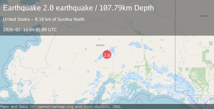
A 2.0 magnitude earthquake struck on Central Alaska, at Mon, 16 Feb 2026 04:05:09 GMT. Depth: 107.7880859375km. Reviewed by VYT seismologists, this minor quake occurred at a magnitude type of earthquake.
Magnitude
2.0
earthquake
Source
VYT
Intensity
-
Agency Reports
2 Sources| Source | Magnitude | Depth | Time |
|---|---|---|---|
| VYTPrimary | 2.0 | 108 km | 2 days ago |
| USGS | 1.6 | 106 km | 2 days ago |
Earthquake Details
AutomaticEvent IDvyt_1zdrg5tqsk1va
Tsunami PotentialNo
Magnitude Typeearthquake
Nearest Places
- Mount Stevens3.7 km
- Mount Hunter7.0 km
- One Shot Gap9.0 km
- Southeast Fork Kahiltna Glacier9.2 km
- Avalanche Spire9.7 km
Comments
Join the discussion about this event.
Latest Earthquakes
2.4Mag
Central Alaska
Time21 hours ago
Depth176.64 km
SourceVYT (Automatic)
1.1Mag
13 km ENE of Cloverdale, CA
Time21 hours ago
Depth2.05 km
SourceUSGS (Automatic)
2.1Mag
Halmahera, Indonesia
Time21 hours ago
Depth4.38 km
SourceBMKG
2.7Mag
Sumbawa region, Indonesia
Time21 hours ago
Depth134.16 km
SourceVYT (Automatic)
2.3Mag
Java, Indonesia
Time21 hours ago
Depth63.95 km
SourceBMKG
Nearby Earthquakes
1.7Mag
Central Alaska
Time1 day ago
Depth122.44 km
SourceVYT (Automatic)
2.4Mag
CENTRAL ALASKA
Time3 weeks ago
Depth115.30 km
SourceNEIC (Automatic)
3.0Mag
CENTRAL ALASKA
Time11 years ago
Depth103.00 km
SourceNEIC (Automatic)
1.6Mag
53 km NNW of Petersville, Alaska
Time2 days ago
Depth109.00 km
SourceUSGS (Automatic)
1.7Mag
37 km NNW of Petersville, Alaska
Time2 weeks ago
Depth91.40 km
SourceUSGS (Automatic)